Tuesday: Warmer than normal conditions continue, with another upswing later this week

Our run of above-normal temperatures is just beginning, and will continue through Tuesday and the rest of the work week. Expect lows to bottom out in the upper 40s to around 50° on Tuesday morning, with temperatures warming into the upper 60s to low 70s in the afternoon under a mix of sun and clouds.
Rest of the work week: Turning even warmer
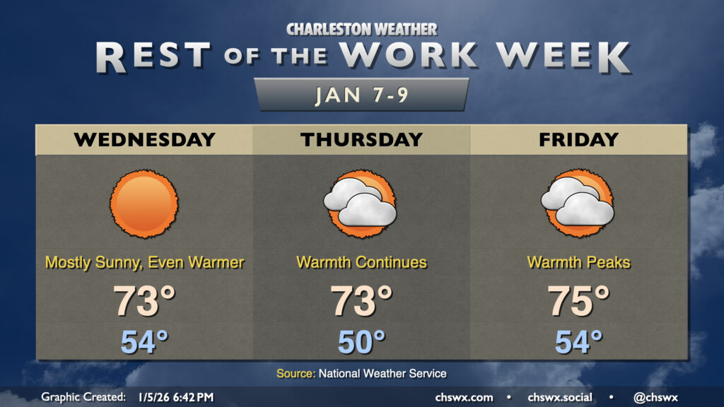
Temperatures will continue to warm through the rest of the work week, with highs running 10-15° above normal at times. A mix of sun and clouds will continue, with skies a little more on the cloudy side Thursday and Friday as mid-to-high-level clouds stream in from time to time. These clouds will also help to keep low temperatures elevated, generally running in the low-to-mid-50s. Warmth will peak on Friday ahead of a cold front, and we could approach record highs as a result, with the forecast high of 75° coming within spitting distance of the record of 78° set in 2012.
The aforementioned front may bring some showers to the area on Saturday, but will almost certainly restore some order to temperatures as highs Sunday peak in the low 60s, while highs on Monday may not get out of the 50s.
Follow my Charleston Weather updates on Mastodon, Bluesky, Instagram, Facebook, or directly in a feed reader. Do you like what you see here? Please consider supporting my independent, hype-averse weather journalism and become a supporter on Patreon for a broader look at all things #chswx!