Thursday: Showers return through Friday, then a quieter weekend
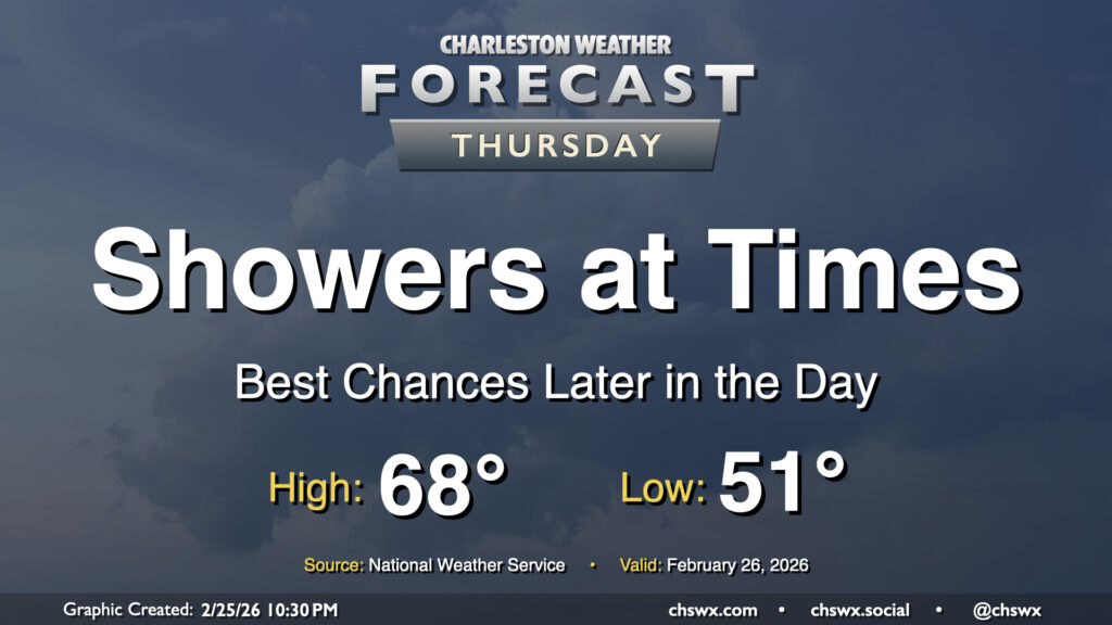
Showers return to the area on Thursday as energy aloft moves across the region ahead of a slow-moving cold front. The best chance for rain will arrive later in the day, and will stick with us into Friday. Temperatures Thursday start on a much more mild note — generally expect lows to fall to the low 50s in the morning, with highs peaking in the upper 60s in the afternoon.
Friday & the weekend: Unsettled end to the work week with clouds hanging around to end February
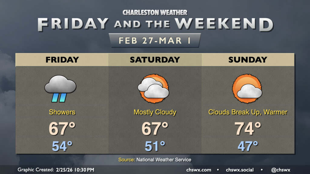
Showers continue into Friday as a cold front slowly approaches the area. The rain is certainly very welcome, with severe drought ongoing across the entire Lowcountry. We can expect generally an inch to an inch and a half of rain before it’s all said and done — solidly beneficial with little concern for flooding thanks to the rain falling over the course of the day and not being very heavy for very long in any one location. Temperatures Friday look a lot like Thursday’s, with lows in the low to mid-50s and highs in the mid-to-upper 60s expected.
The front gets offshore Saturday, but there’s not too much of an airmass turnover. Lows in the low 50s are expected again, with maybe a stray shower near the coast, but otherwise expect a mostly cloudy day with highs once again peaking in the mid-to-upper 60s. Sunday will turn a bit warmer ahead of another cold front; after a cooler start in the mid-to-upper 40s, expect highs to peak in the mid-70s with more in the way of sunshine to kick off March and climatological spring.
Follow my Charleston Weather updates on Mastodon, Bluesky, Instagram, Facebook, or directly in a feed reader. Do you like what you see here? Please consider supporting my independent, hype-averse weather journalism and become a supporter on Patreon for a broader look at all things #chswx!