Weekend forecast: Stormy Saturday, drier Sunday
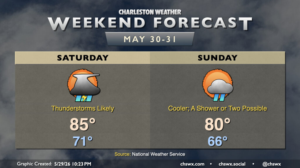
Rain spreads back into the Lowcountry on Saturday as a stationary front buckles back northward across the area. A bit of upper-level energy will also kick in some lift, and that’ll result in scattered to numerous showers and thunderstorms at times on Saturday. Right now it looks like the best chances will be found in the morning through early afternoon hours, but a shower or storm just can’t be ruled out during any part of the day. Temperatures will start in the low 70s, warming to the mid-80s in the afternoon at best.
The front pushes back southward on Sunday, re-establishing a bit of drier northeast flow across the area. We should still see a few showers in the morning, but much of the day should be on the dry side. Temperatures start off cooler, with mid-60s expected, warming to just 80° in the afternoon under partly to mostly cloudy skies.
There is a low-end risk of tidal flooding with the evening high tides this weekend due to onshore flow, and we’ll want to pay particular attention to where precipitation sets up Saturday evening as heavy rain in advance of the 8:27 PM high tide could portend urban flooding issues in downtown Charleston. Absent any rain, the main concerns would be for the most vulnerable locations to salt water flooding, namely Hagood and Fishburne as well as along Lockwood.
Follow my Charleston Weather updates on Mastodon, Bluesky, Instagram, Facebook, or directly in a feed reader. Do you like what you see here? Please consider supporting my independent, hype-averse weather journalism and become a supporter on Patreon for a broader look at all things #chswx!