Tuesday: On & off storms keep temperatures below 90°
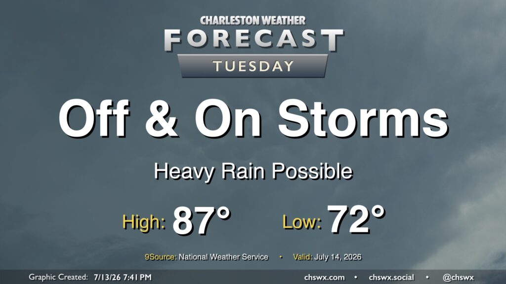
Showers and thunderstorms will feature prominently in the forecast on Tuesday as they develop around a stalled boundary lingering to the south. Periods of heavy rain will be possible, and an area or two of freshwater flooding can’t be totally ruled out. However, severe weather is unlikely, and this will largely be a beneficial rainfall event. Even better, highs should peak below 90° for the first time since June 24. So, even though there will be rain, it’ll be awfully nice to not be baking.
The main flooding concern arrives with the evening high tide; minor to moderate coastal flooding will be possible between 7-10 PM. We’ll need to monitor where the rain is carefully; any rain that coincides will cause issues downtown.
Rest of the work week: One more unsettled day, then calming down — and warming back up
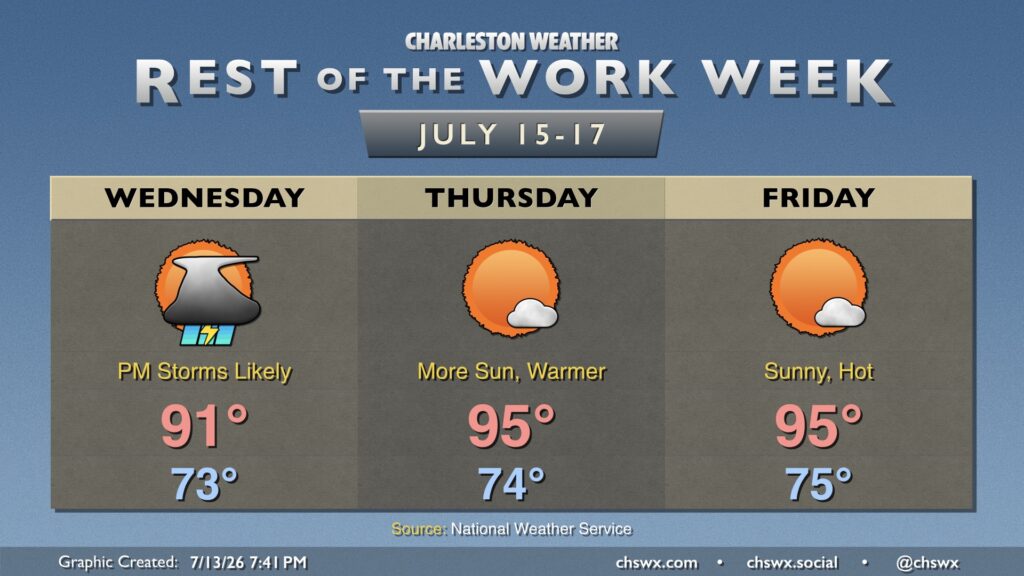
We’ll see another round of unsettled weather on Wednesday afternoon as the lingering boundary washes out. Temperatures will start in the low-to-mid-70s, warming to the low 90s in the afternoon before thunderstorms get going. It looks likely most of us will see a storm or two, but not everyone will see one.
High pressure rebuilds aloft for Thursday and Friday, putting a lid on thunderstorms and helping to warm us up a bit more (though not to the extremes we saw last week). Lows will generally run in the mid-70s, while highs should peak in the mid-90s each afternoon under mostly sunny skies. Heat indices will climb well into the 100s, which is far from unheard of for July, but still plenty warm.