Thursday: More sunshine and heat
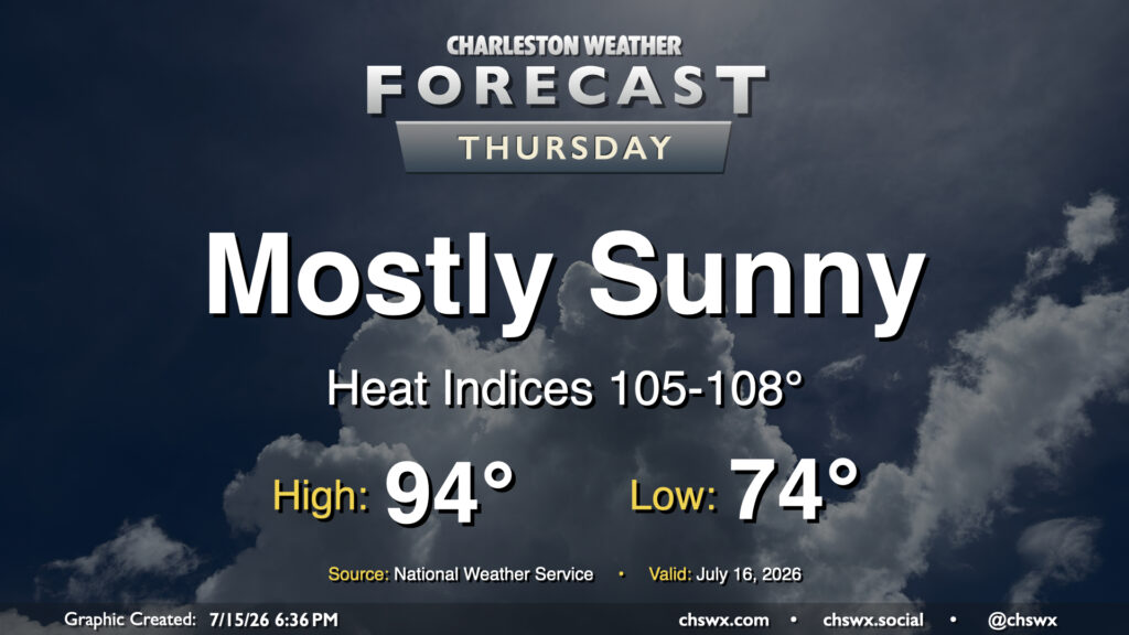
High pressure rebuilding aloft will bring more sunshine — but more heat, too. We’ll start Thursday in the mid-70s inland to upper 70s near the coast. From there, plenty of sunshine will drive highs into the mid-90s. Dewpoints will be fairly juicy — generally in the mid-to-upper 70s — and this will drive heat indices well into the mid-100s. Closer to the coast as well as in downtown, dewpoints near 80° will help drive the heat index up toward 108° for at least a brief period. Heat Advisory criteria is a heat index 108°-112° for two hours or more, and we certainly could be close in the coastal corridor. Regardless, be sure you’re taking frequent breaks in the shade with plenty of water if you’re working outside.
Friday & the weekend: Mid-July heat continues
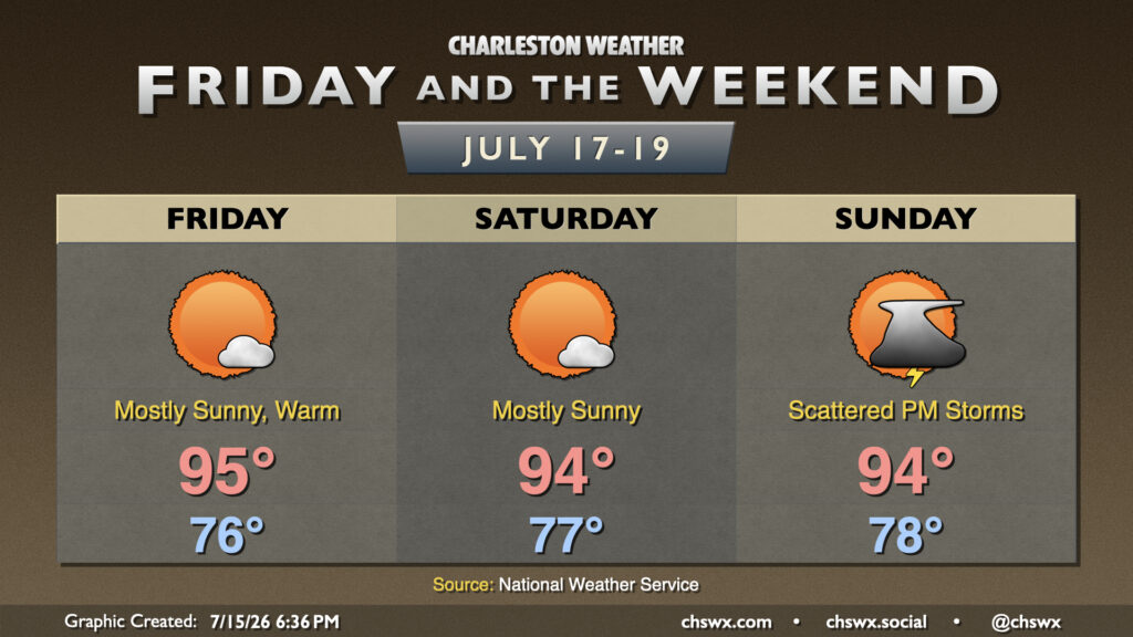
Heat and humidity continue heading into the weekend with little in the way of shower and thunderstorm chances until Sunday. Temperatures will continue to run in the mid-90s, and with dewpoints remaining elevated in the mid-to-upper 70s, we won’t get much of a chance to cool off overnight, either, with morning lows gradually warming to the upper 70s by Saturday. Heat indices should continue to flirt with, if not meet, heat advisory criteria each day, so be ready for more Heat Advisories from the National Weather Service. Sunday will offer up a little better chance for afternoon thunderstorms to cool a few of us off, but many of us may yet miss out. So it goes this time of year.
Follow my Charleston Weather updates on Mastodon, Bluesky, Instagram, Facebook, or directly in a feed reader. Do you like what you see here? Please consider supporting my independent, hype-averse weather journalism and become a supporter on Patreon for a broader look at all things #chswx!