Friday & the weekend: Weather turns unsettled as a front stalls nearby
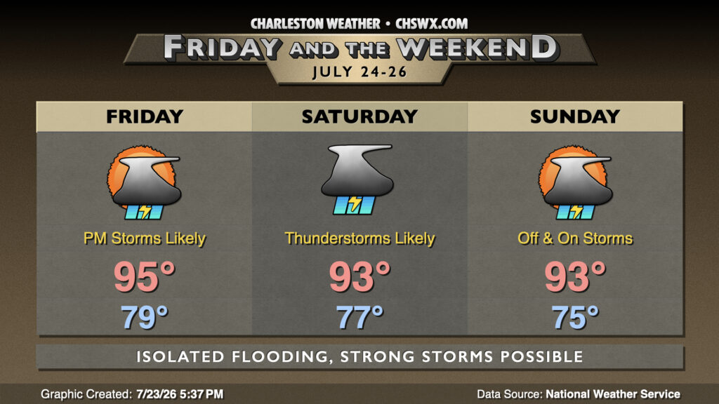
A cold front that’s brought quite a bit of rain to North Carolina today will continue to sag southward Friday, stalling out around the area over the weekend and keeping our weather relatively unsettled as a result.
We’ll start Friday much as we’ve started the past few days: quite balmy with lows bottoming out in the upper 70s to low 80s. Temperatures will head back toward the mid-90s before showers and thunderstorms begin to develop in the afternoon. Some heavy rain will be possible, and we’ll need to keep an eye on the usual urban trouble spots for the potential for flooding. Guidance suggests the best risk for thunderstorms beginning around 2-3 PM, pushing eastward toward the coast for the commute.
More widespread rain is expected Saturday, though it shouldn’t rain all day at any one location. Still, quite a bit of rain could fall, with 2-3″ possible in spots. It’s not the worst thing — we could still use the rain — but we don’t want it all at once, especially in parts of downtown Charleston as well as downtown Summerville and parts of North Charleston especially around the old Navy base as well as Otranto. Temperatures could climb into the low 90s, but it’s conceivable that widespread rain may keep those temperatures a little lower.
Sunday should still feature off and on thunderstorms, though coverage doesn’t look to be quite as high as Saturday. Still, a few spots could see some heavy rain as the front remains stalled out to the north. High temperatures should still run in the low 90s before thunderstorms get going.
Follow my Charleston Weather updates on Mastodon, Bluesky, Instagram, Facebook, or directly in a feed reader. Do you like what you see here? Please consider supporting my independent, hype-averse weather journalism and become a supporter on Patreon for a broader look at all things #chswx!