Rest of the work week: Heat advisory Wednesday, then turning less humid
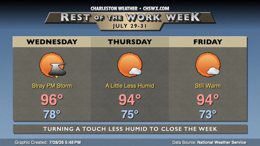
Another hot and humid day awaits for Wednesday, then a bit of drier air filters in to take the edge off the heat ever so slightly to close out the work week and the month of July.
We will start Wednesday on a very warm and muggy note with lows dropping only to the upper 70s inland, while we will likely not head below 80° downtown. Temperatures will head back into the mid-to-upper 90s in the afternoon, and with the warmest dewpoints concentrating in the coastal corridor, a Heat Advisory will be in effect once again from 11am-7pm for Charleston and tidal Berkeley (Daniel Island, Hanahan) as heat indices here should top out near 110° once again. It’ll still be quite warm in Inland Berkeley and Dorchester counties, but heat indices should stay below the threshold of 108° for a two hour or longer duration. There will be a shot at a stray storm mainly later in the evening as a stalling front draws closer and basically stops along the Savannah River, but otherwise, don’t count on any heat relief from storms.
The aforementioned front will continue to hang around for the next couple days. There’ll be less moisture to work with, and high pressure building in will bring on a quiet Thursday and Friday with mostly sunny skies expected. Lower dewpoints behind the front will help to keep heat indices a little more in check. So, while it will still be plenty warm as air temperatures head to the mid-90s, heat indices will not really run much higher, if at all. The respite will be brief, as muggy air returns by the weekend along with shower and thunderstorm chances.
Follow my Charleston Weather updates on Mastodon, Bluesky, Instagram, Facebook, or directly in a feed reader. Do you like what you see here? Please consider supporting my independent, hype-averse weather journalism and become a supporter on Patreon for a broader look at all things #chswx!