Weekend forecast: Unsettled weather returns
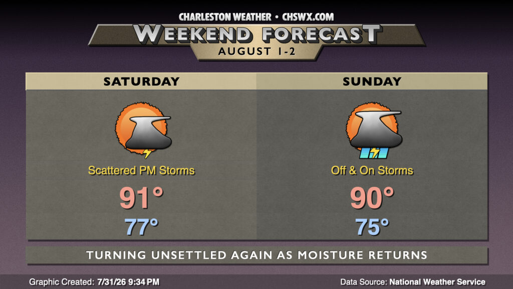
High pressure will give way to a cold front approaching from the west, bringing more humid air and shower and thunderstorm chances back to the forecast for the weekend.
Saturday will be the better day this weekend to get out and about. Morning lows will drop only to the mid-to-upper 70s courtesy of the more humid airmass that’s worked back into the area. Cloud cover will be a bit more prevalent, though, and that’ll keep highs capped to the low 90s. Heat indices inland will peak in the mid-90s, while we should see values around 100° closer to the coast due to the higher dewpoints. Isolated to scattered storms should initiate on the seabreeze early in the afternoon. Storms should continue to fire on boundaries through the evening.
More widespread rain is expected Sunday as deeper moisture moves in. It won’t rain all the time, but a shower or thunderstorm can’t be ruled out at any point in the day. Temperatures start in the mid-to-upper 70s, warming to the low 90s in the afternoon at most, with highs being governed by cloud cover and shower activity. There will be a risk for heavy rain and lightning with any storms that develop, but morning activity should help to reduce the risk for severe weather.
Follow my Charleston Weather updates on Mastodon, Bluesky, Instagram, Facebook, or directly in a feed reader. Do you like what you see here? Please consider supporting my independent, hype-averse weather journalism and become a supporter on Patreon for a broader look at all things #chswx!