Tuesday: Scattered storms in the afternoon; coverage ticks up mid-week
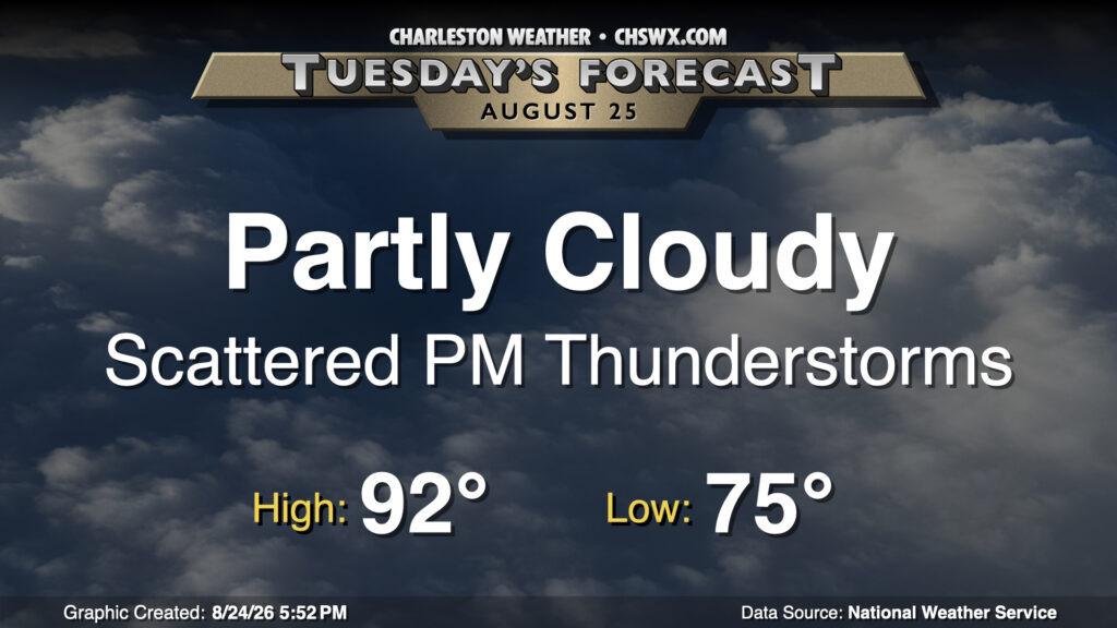
Tuesday will be a lot like Monday was, it looks like, with lows in the mid-70s yielding to highs in the low 90s in the afternoon. With the persisting stationary front to our west and the afternoon seabreeze, we can expect generally scattered thunderstorms to develop once again in the afternoon. Not everyone will see a storm, but those that do could see heavy downpours and even some severe weather, with damaging wind gusts the main concern.
Rest of the work week: Rain turns more widespread
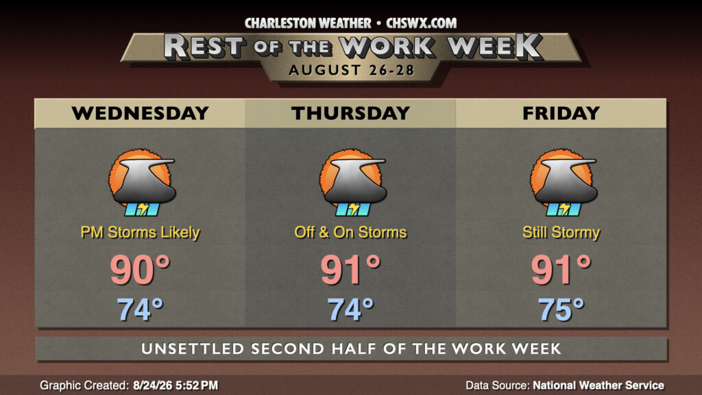
From there, the rest of the work week will turn more unsettled, with off and on showers and thunderstorms expected through at least Friday as disturbances aloft move on by. It won’t rain all the time, but the risk for heavy rain will continue to increase as moisture continues to become richer. This, in turn, will lower the severe weather risk, but water-loaded wet microbursts could still produce some damaging wind gusts with a few storms. Temperatures will be “refreshing” compared to the first half of this month, with lows in the mid-70s yielding to highs “only” in the low 90s each day courtesy of the rain.
Follow my Charleston Weather updates on Mastodon, Bluesky, Instagram, Facebook, or directly in a feed reader. Do you like what you see here? Please consider supporting my independent, hype-averse weather journalism and become a supporter on Patreon for a broader look at all things #chswx!