Weekend forecast: Staying unsettled, especially Saturday
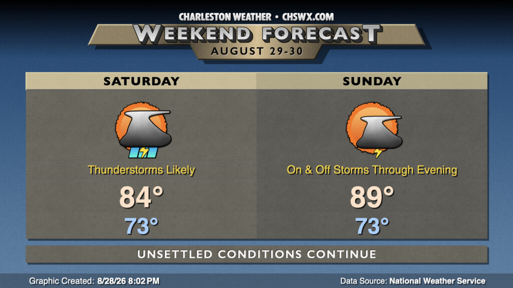
Unsettled weather continues this weekend with plenty of moisture remaining available across the area and a front to the west, though we should start to see a downtick in rain coverage starting Sunday as high pressure begins to rebuild aloft and that front falls apart.
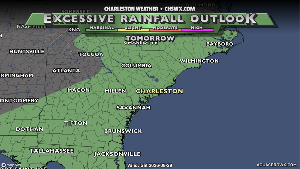
Showers and thunderstorms could be ongoing at daybreak Saturday around the coast before turning more inland as we get into the afternoon and evening hours. It won’t rain all day at any one location, but indoor plans are probably a safer bet. Severe weather isn’t expected, but there’s still an isolated flooding threat throughout the day, with a level 1 out of 4 risk on the Excessive Rainfall Outlook. Otherwise, persistent cloud cover and the expected shower and storm activity should keep highs capped to the mid-80s for most of us, though if some sun breaks through it may turn a little warmer.
Sunday is looking a little quieter as the front to our west dissipates, though we should still see some showers and thunderstorms fire on the seabreeze as it progresses inland. More sunshine will lead to temperatures closer to normal, with highs peaking in the upper 80s after starting in the low-to-mid-70s.
Tropics: Dolly dissipates, but still being monitored
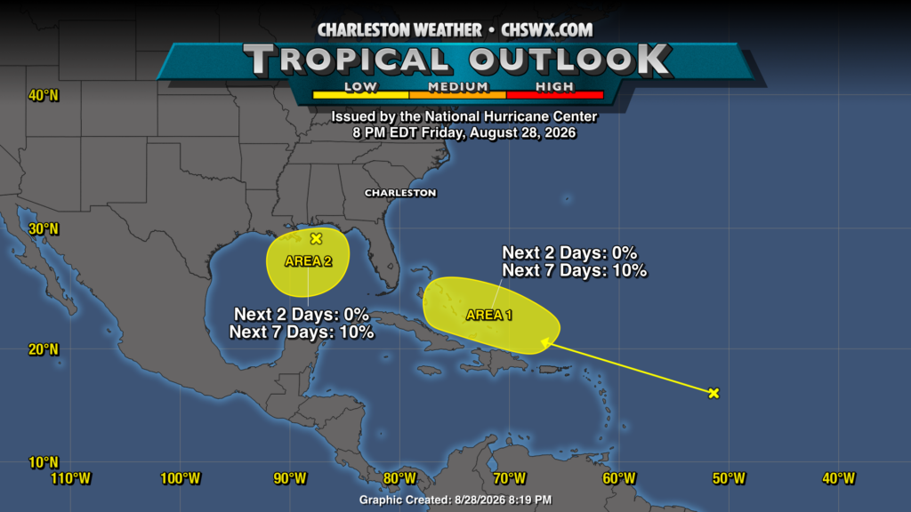
Tropical Storm Dolly maintained its organization for approximately 24 hours before high wind shear ultimately did it in as a tropical cyclone, opening back up into a tropical wave. It’ll head across the Leeward Islands and toward Puerto Rico, bringing some rain over the next few days. From there, we’ll keep an eye on it as there’s an outside shot it could regain organization as it gets closer to the Bahamas later this week. Still, the probabilities are low — around 10% at this point — and guidance generally favors it not regenerating. A second area of interest in the Gulf producing some showers and storms also has a very low probability of development over the next week as it generally sits stationary. Both spots will be watched, but ultimately, there are no concerns for the Lowcountry. Enjoy your weekend!
Follow my Charleston Weather updates on Mastodon, Bluesky, Instagram, Facebook, or directly in a feed reader. Do you like what you see here? Please consider supporting my independent, hype-averse weather journalism and become a supporter on Patreon for a broader look at all things #chswx!