Friday & the weekend: Heat, humidity, and storm chances resume
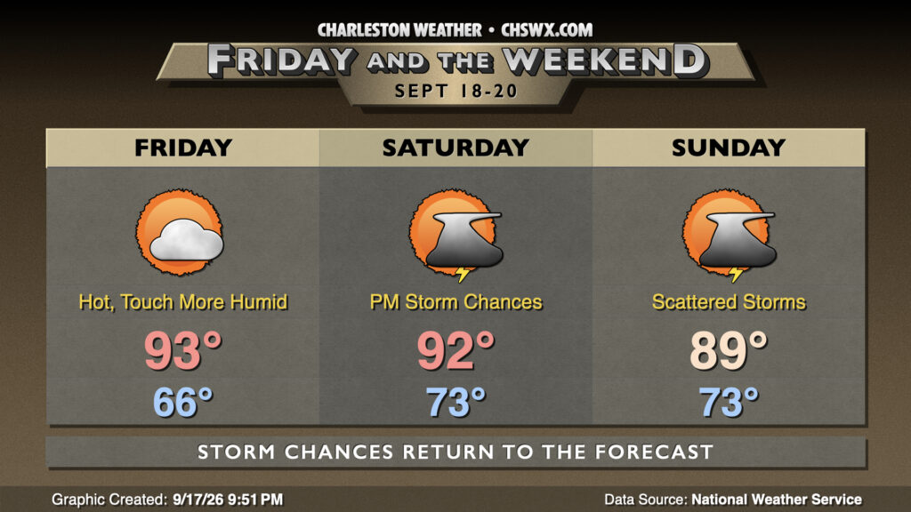
Summer is far from finished with us yet. After a couple days with relatively drier air and slightly cooler temperatures, we’re back to the 90s on Friday as surface winds swing around a little more westerly than we’ve seen the past few days. It should be a mostly sunny day, though clouds will increase later in the day with the potential for a shower or two to potentially migrate in from the north late. At least we get off to one more seasonable start as lows take one more trip to the mid-60s before a stretch of 70s lows kicks off Saturday.
Shower and thunderstorm chances tick up for the weekend as a front moves southward toward the area. Generally, we can expect showers and storms in the afternoons, though not everyone will see rain nor will it rain all day at any one location. Heat will peak Saturday afternoon, with highs heading to the low 90s one more time before showers and storms fire up. We stay unsettled heading into Sunday as the front stalls to our north before retreating northward. Temperatures will remain warm and muggy, with highs in the upper 80s to around 90° before showers and thunderstorms develop once again.
Follow my Charleston Weather updates on Mastodon, Bluesky, Instagram, Facebook, or directly in a feed reader. Do you like what you see here? Please consider supporting my independent, hype-averse weather journalism and become a supporter on Patreon for a broader look at all things #chswx!