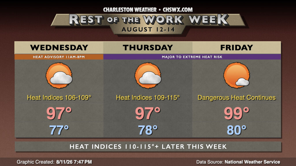
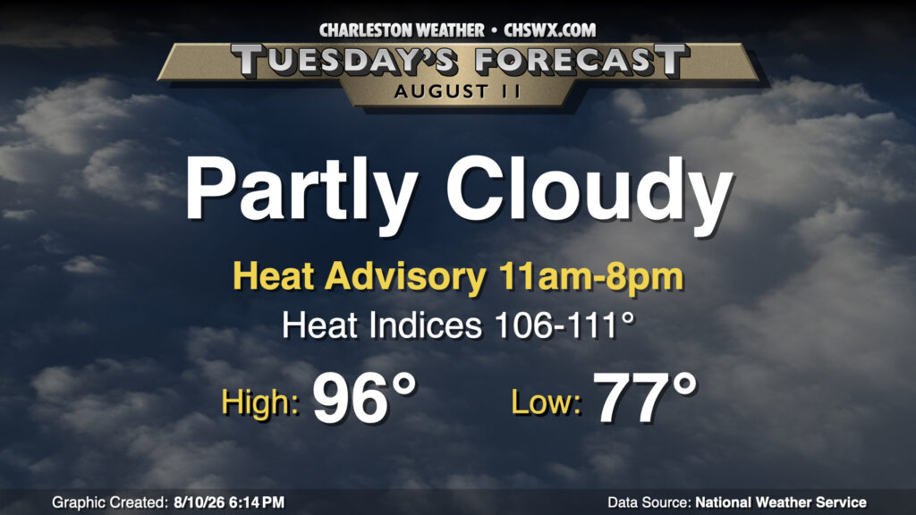
Thursday: Heat escalates; Extreme Heat Warning issued
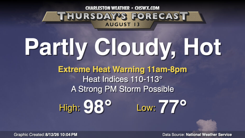
We’ll take the heat up a notch for Thursday as even hotter air temperatures in the upper 90s — perhaps approaching 100° in a few spots — combine with dewpoints in the mid-to-upper 70s to produce heat indices pushing 110-113°. This potential has prompted an Extreme Heat Warning for Charleston and tidal Berkeley counties (Daniel Island, Hanahan) from 11am-8pm. Elsewhere in Berkeley and Dorchester counties, a Heat Advisory will be in effect for the same time period. In these areas, heat indices should peak in the 108-110° range — still quite dangerous, but not nearly as intense as what folks will see closer to the coast, where the moisture-rich maritime air will make it that much harder for your body to cool down. If you must be outside during the advisory/warning period tomorrow, take frequent breaks in the shade with plenty of water.
There will be a risk for a few showers and thunderstorms in the afternoon as some energy ripples by aloft, riding around the periphery of a strong ridge of high pressure centered in the midsection of the continental US. If storms can get going, a stray strong storm or two won’t be out of the question given plenty of moisture to work with. However, don’t count on a thunderstorm to impart much, if any, relief from the extreme heat.
Read more »