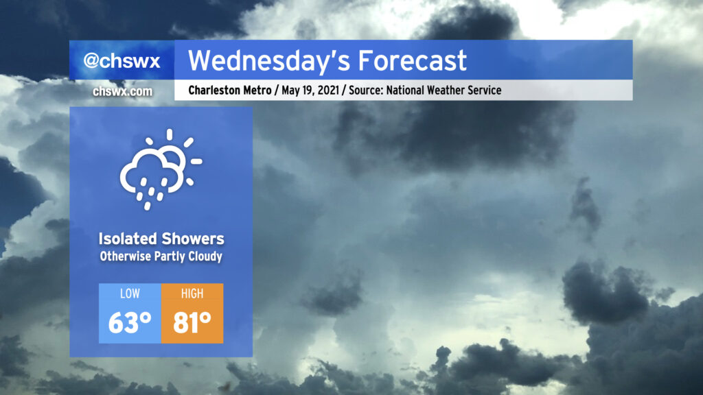
Wednesday looks quite a bit like today: a mix of clouds and sun with temperatures right around normal for mid-May. Much like today, a little bit of troughiness on the periphery of high pressure will come ashore during the day, potentially being a touchpoint for a shower or two. Don’t expect much in the way of widespread measurable rainfall — the vast majority of us will remain dry. Highs will top out in the low 80s away from the locally cooler coastline, and low 60s dewpoints will be reasonably comfortable.
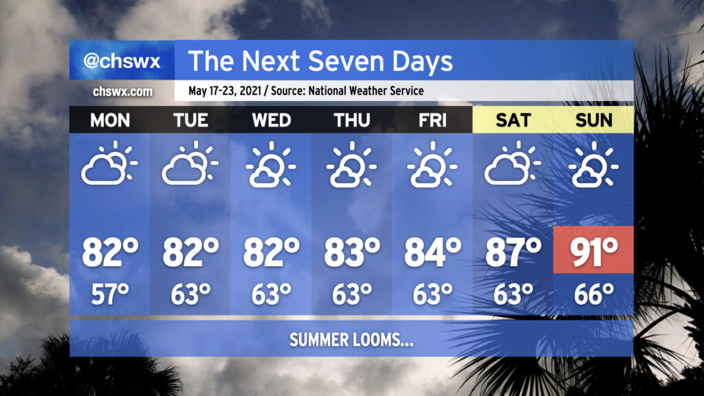
After tomorrow, high pressure will take even firmer control of our weather. Expect temperatures to steadily rise into the end of the week through the weekend; we’re very likely going to see our first 90° days of the year beginning Sunday, with a bit of a heat wave persisting into next week as highs approach the mid-90s. It’ll certainly be the warmest stretch of 2021 thus far. Suffice to say, it’s safe to stow the winter wear for a few months!
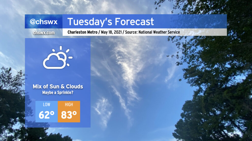
Despite a little more cloud cover, expect temperatures to run a little warmer Tuesday in part due to a little more moisture being available and the overall modification of the airmass that settled in behind the front last week. Temperatures will still run generally around, if not slightly below, normal for mid-May, with cooler air at the coast keeping highs at the beaches in the 70s.
Despite high pressure continuing to build across the area, one cannot totally rule out a shower or two developing on the southern extent of the ridge. The better rain chances will be south of us, but a few sprinkles aren’t out of the question. All in all, the vast, vast majority of us stay dry tomorrow — and we’ll stay that way through at least early next week.
The upcoming work week will feature temperatures right in line with what we would expect from the third week in May with low-to-mid-80s quite common away from the coast. Humidity will be creeping up a little bit beyond Monday, which will be felt primarily through slightly warmer low temperatures in the low 60s. Keep the sprinklers on standby throughout the week as you’re going to need them with dry weather expected for the next seven days thanks to high pressure at the surface and aloft keeping a lid on afternoon convection. This will expand on this spring’s rainfall deficit, which stands at 2.19″ at publish time. (We are hanging on to a 0.66″ surplus for the year, but this should be erased by the end of this week.)
As we reach the weekend, we’ll start to see the heat kick up a notch as the ridge aloft strengthens. The first 90° temperature at the airport in 2021 should be achieved by Sunday; if this ends up being the case, it’d be the latest first 90° day since 2005. Dewpoints in the low 60s will keep heat indices in check for now, but it’s only a matter of time before the humidity begins to kick in.
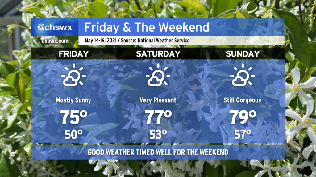
After a nicer-than-expected Thursday, we have a pretty outstanding mid-May weekend coming up in the Lowcountry. High pressure will remain the dominant player in our weather both at the surface and aloft. Onshore winds will keep temperatures quite comfortable, and deep-layered dry air will help mix dewpoints out into the 40s during daytime heating, providing for a comfortably dry atmosphere particularly on Friday and Saturday. The airmass will continue to moderate through the weekend, and we should be back to around 80° by Sunday. Overall, this is a great opportunity to get out and about — summer and its associated muggy heat will be here before you know it.
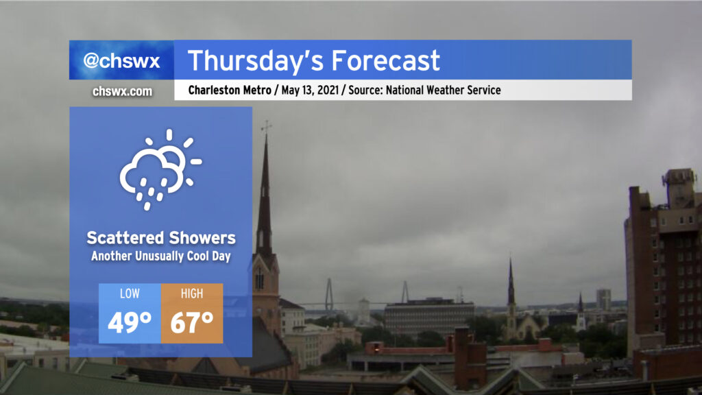
A late-season cold air damming wedge will remain in place on Thursday, keeping temperatures well below normal for mid-May and shower chances in place as low pressure develops off the Florida and Georgia coasts. We’ll start the day in the upper 40s to around 50° with highs — provided the wedge scours away a bit — topping out in the mid-60s. That may be generous, though. Breezy northeast winds will continue within the wedge throughout the day with persistent cloud cover. There’s a chance we could see some breaks in the clouds later in the evening, but that’s somewhat up in the air based on how much moisture could be trapped within the wedge.
As mentioned before, scattered showers look probable, with even some drizzle possible especially if the wedge remains entrenched. Suspect that the best rain chances are going to be closer to the coast and will be greatest in the morning. As low pressure pulls away, drier air will punch into the area, but it may take time to erode the layer of overcast just off the surface.
Fortunately, this will be relatively short-lived — clouds will begin to break on Friday, and by the weekend we’ll see mostly sunny skies and temperatures in the mid-to-upper 70s. Hang in there!
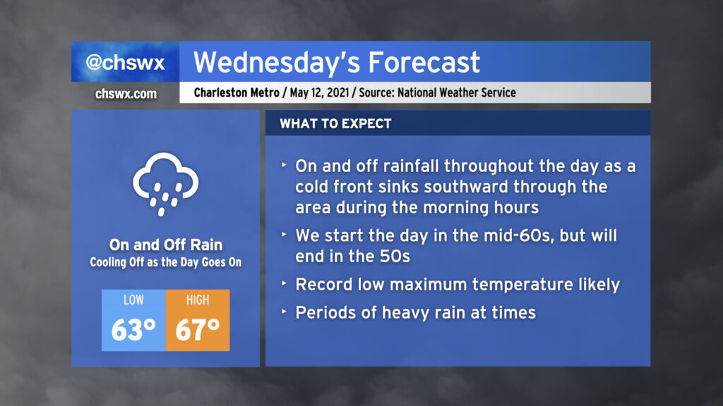
We will start Wednesday in the low to mid-60s across the area with showers and maybe a thunderstorm or two ahead of a cold front. Said front will sink southward through the area during the morning, and we will cool off as the day goes on. Expect our high in the mid-60s to be recorded before noon, with temperatures falling into the 50s during the afternoon and evening hours. Rain will be off and on throughout the day, so just be prepared with the rain gear as needed. (You might want to go with something fleece-lined.) Models suggest we may see a little break in the rain as we get into the evening hours once low pressure develops offshore and heads away, which may not be the worst thing for the commute home.
It looks like we will set a new record low maximum temperature on Wednesday. The current coldest high recorded at the airport on May 12 is 69° set in 1963. The current forecast high of 67° will clear that bar fairly comfortably. All will hinge on how quickly the cold front can get through the area during Wednesday morning.