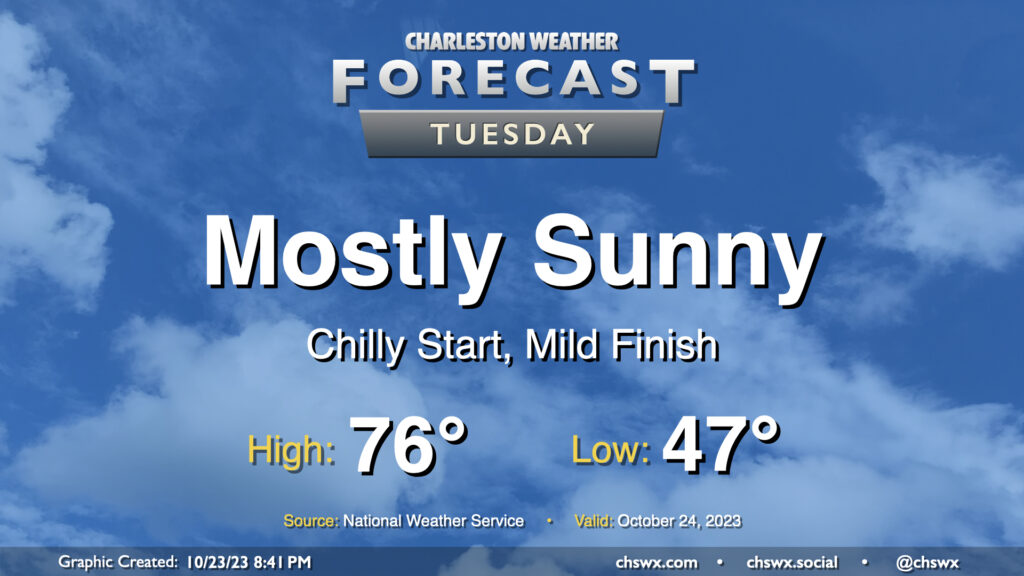
We get off to a fairly chilly start on Tuesday as lows bottom out in the upper 40s thanks to clear skies and light winds. This will be the low-water mark (so to speak) for temperatures, though, as we head into the rest of the week. Highs on Tuesday top out in the mid-70s once again, perhaps a degree or two warmer than we saw on Monday. All in all, another nice October day.
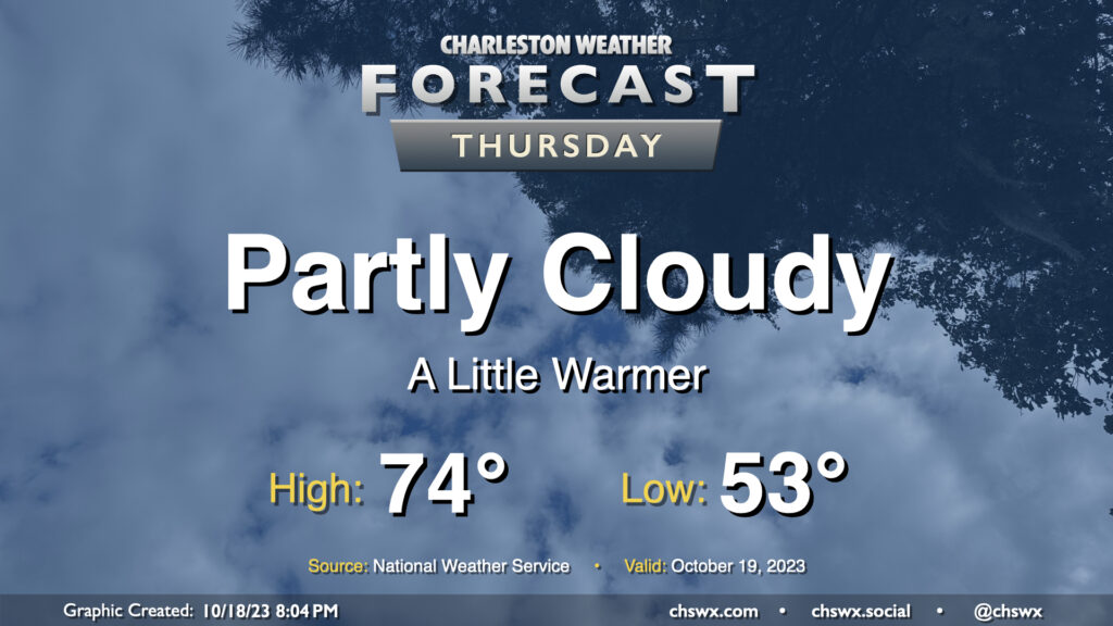
Expect clouds to be on the increase on Thursday as a coastal trough develops nearby, spreading some cloud cover onshore. Somewhat more southerly trajectories will allow temperatures to run a little warmer (but still below normal). Expect to start the day in the low-to-mid-50s before temperatures head to the mid-70s in the afternoon. Despite increasing clouds, expect one more rain-free day ahead of a cold front arriving Friday.
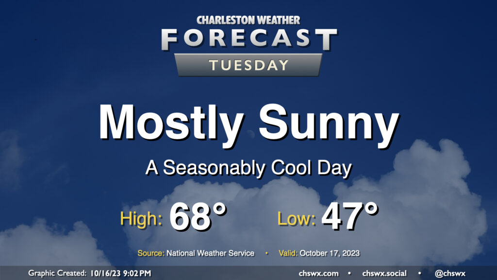
Tuesday will be another seasonably cool day under mostly sunny skies as high pressure remains in control at the surface with troughing aloft. After an upper-level disturbance passes by overnight Monday, skies will clear, allowing temperatures to fall into the upper 40s away from the coast for Tuesday morning. Temperatures then rise into the upper 60s, with the potential for a couple spots to hit 70°. Overall, a very seasonable October day across the Lowcountry.
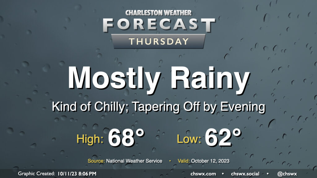
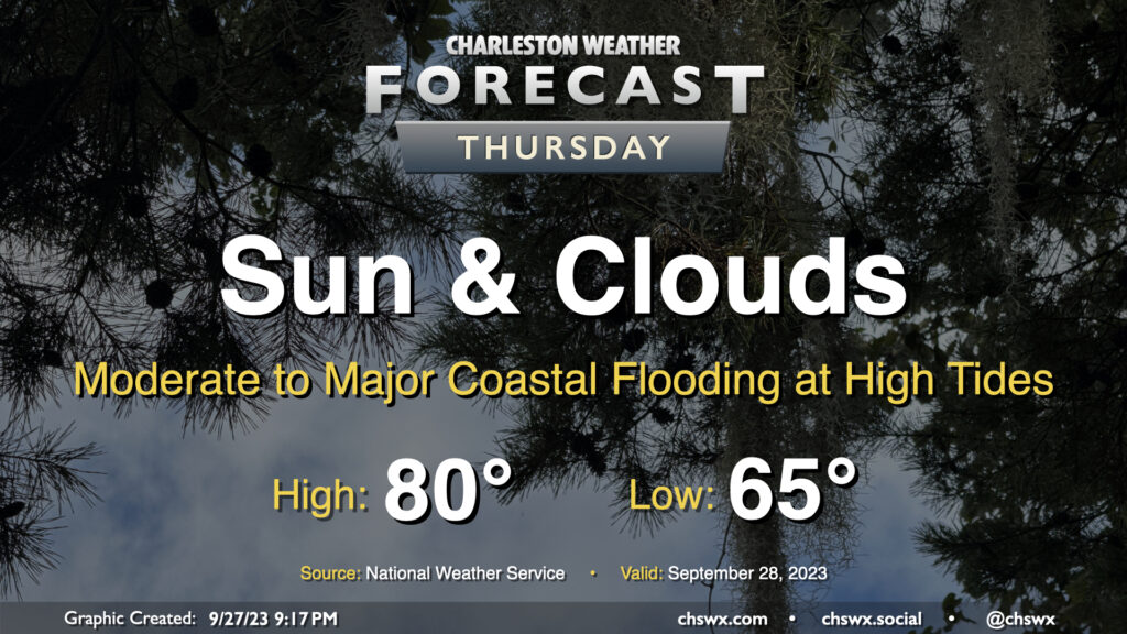
Showers overspreading the area Wednesday evening will continue for much of Thursday as low pressure moves offshore, allowing high pressure to wedge in behind it from the northeast. While rain chances taper heading into the evening, cloud cover should remain robust and temperatures on the cool side thanks to the wedge. We shouldn’t get out of the upper 60s, in fact. All in all, Thursday looks to be a good jacket or hoodie kind of day.
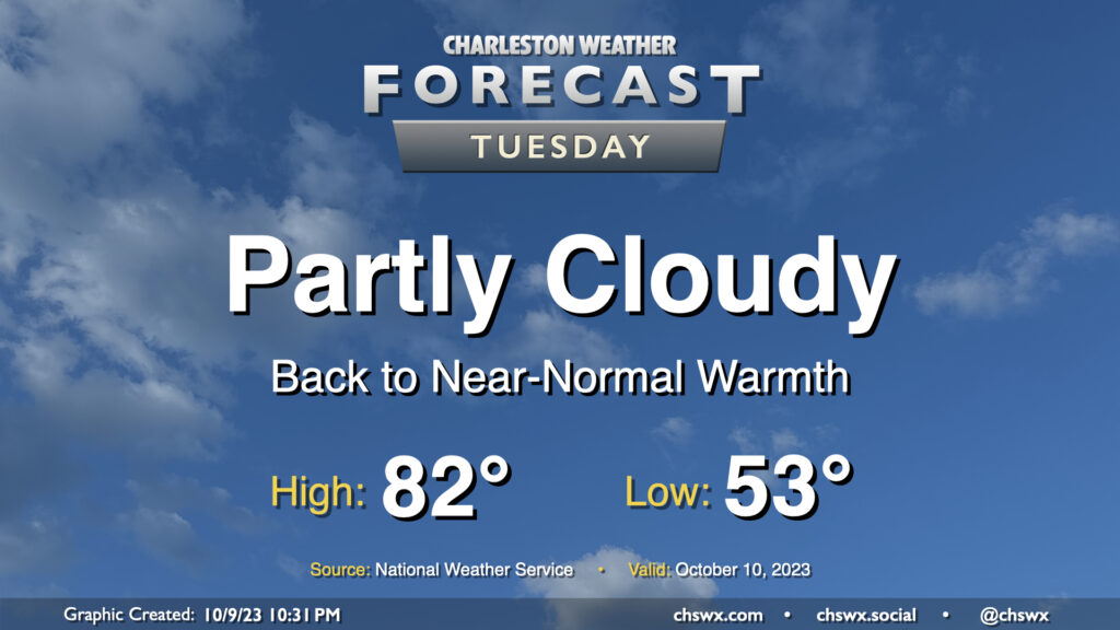
Clouds and temperatures will be on the increase for Tuesday as moisture begins to move back into the area. We start Tuesday in the low 50s before temperatures warm reasonably quickly into the low 80s by early afternoon. We should get plenty of sun for much of the day, though cloud cover will be thickening by evening.
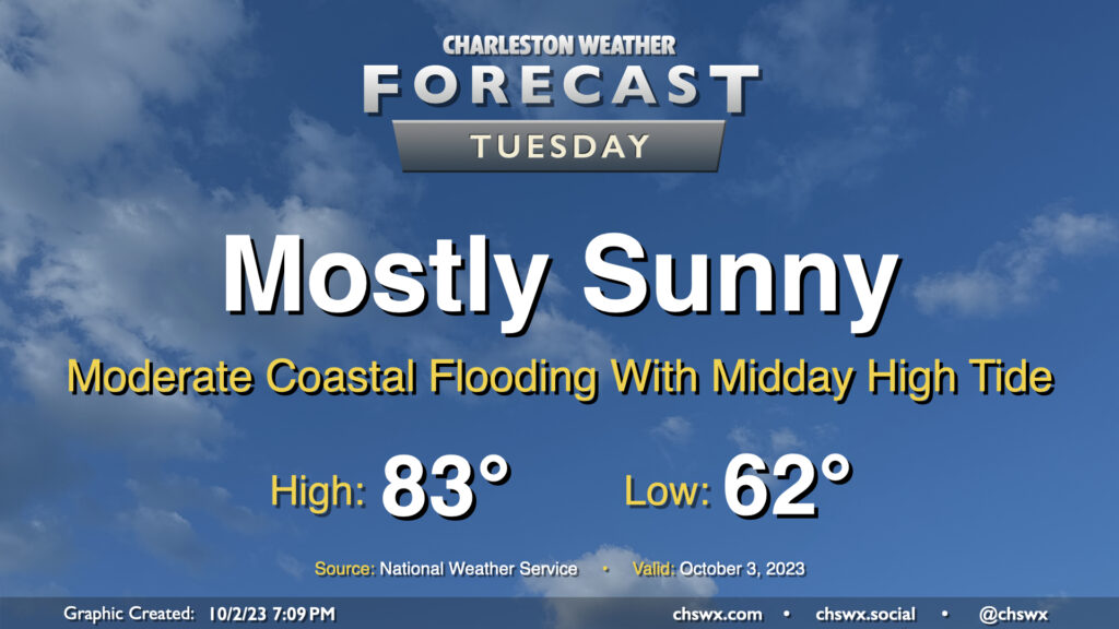
Our solid start to October continues on Tuesday, with mostly sunny skies and comfortable temperatures continuing with high pressure in control. The only potential issue will be the risk for moderate coastal flooding with high tide just before noon; there could be travel disruptions as some of y’all look to grab lunch, so that’ll be something to keep an eye on. Otherwise, though, it’ll be another very nice day.
Rain will generally be a non-factor in our weather starting Thursday (except for maybe some brushes near the coast) heading into Friday and the rest of the weekend. We start the day around 65° with some cloud cover in the area. A northeasterly breeze courtesy of high pressure wedging into the area from the northeast will continue to keep temperatures down to about 80° at warmest in the afternoon with cloud cover hanging around. We should see some sun break through at times as well, though.
The main weather concern will be coastal flooding at times of high tide, and it could be somewhat disruptive to the morning commute in particular. High tide around 7:30am will top out around 7.9′, which is the high end of moderate flood stage in Charleston Harbor. The evening high tide should reach even higher, with water levels around 8.1′ expected around 8pm. Watch for road closures as you commute Thursday morning and then again a little later Thursday evening, particularly if downtown is in your plans.
We have one more day of the upper 80s in store before changes arrive in the form of a wedge of high pressure building in from the northeast for the rest of the week. Tuesday starts in the upper 60s inland to perhaps mid-to-upper 70s closer to the coast. Highs then head into the upper 80s once more, and with dewpoints edging up into the upper 60s, it’ll feel closer to 90° or so. From there, clouds will increase and a few showers should break out in the afternoon, though nothing over-the-top is really expected. There may be a rumble of thunder late, but overall, not expecting much in the way of lightning. Shower chances continue into the evening, and really for much of the rest of the work week from there.
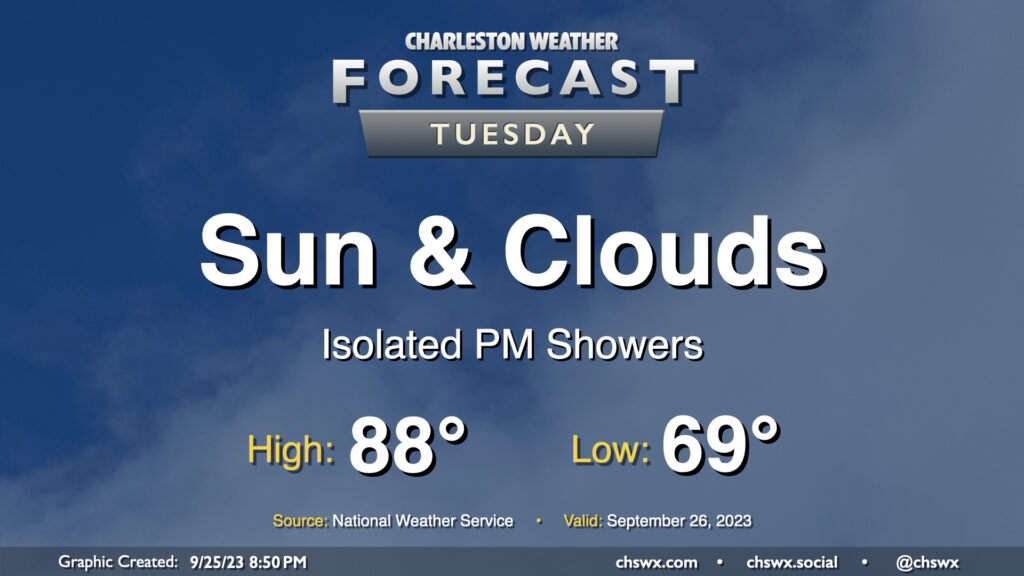
Rain-free conditions come to an end Thursday as we should see some scattered showers from time to time courtesy of developing low pressure well offshore. We’ll get off to a much warmer start than the previous couple days, with lows across the metro in the upper 60s to around 70°. Expect a scattering of showers and maybe some rumbles of thunder throughout the day, coming ashore within onshore flow. A few heavy downpours can’t be ruled out. Highs top out in the low 80s.
We’ll get close to coastal flood stage with Thursday afternoon’s high tide, forecast to peak around 12:41 PM, thanks to the increasing northeasterly flow, which tends to pile water up quite efficiently, so we’ll need to keep an eye on that in case some salt water works into the area.
We have another pretty day ahead for Tuesday (weather-wise, anyway). Temperatures start out quite nicely, with much of the metro starting in the low 60s. Some spots further inland could bottom out in the upper 50s, while places closer to the coast will generally feel warmer lows in the upper 60s. Temperatures head to the mid-80s in the afternoon. Dewpoints will mix down to the mid-50s except perhaps at the immediate coast, sending relative humidity values south of 40% once more. Overall, no complaints in the weather department.