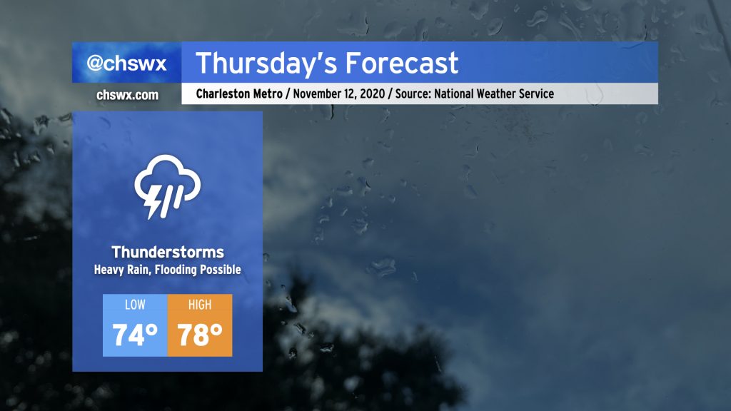
Some pretty heavy rain for any time of year, much less November, is in store for Thursday. Deep tropical moisture will continue to blanket the area ahead of a cold front. At the same time, Tropical Storm Eta will move across northern Florida and into the Atlantic, weakening while undergoing a post-tropical transition. Be ready for the potential for flooding due to heavy rain, especially around times of high tide (4:54am, 5:10pm). Some tidal flooding cannot be ruled out, either.
Temperatures are just not going to move much tomorrow with rain expected to be in place for a fair bit of the day. Highs will top out in the upper 70s after a low in the mid-70s, which would absolutely destroy the record high minimum temperature of 68° set in 1975. Our lows have been rewriting the record books for the last few days due to such abnormal warmth. (A normal November low based on 1981-2010 climatology is 48°!) Fortunately, there is some relief in sight with the cold front.
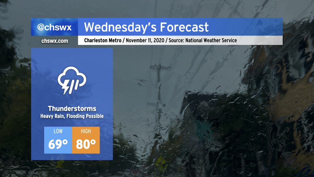
Periods of heavy rain look to continue for the next few days as moisture from Tropical Storm Eta in the Gulf continues to overspread the area with a stalling cold front to our west. For Wednesday, showers and thunderstorms continue to overspread the area throughout the day. It’ll be muggy, with highs once again topping out around 80° after starting out near 70°, which may threaten record high minimum temperatures once again.
As always, when heavy rainfall is in the forecast, we need to watch around times of high tide for particularly acute flooding in downtown Charleston. High tides will be at 3:55am and 4:13pm on Wednesday. Given continued onshore flow, the Wednesday afternoon high tide could tip briefly into coastal flood stage as well, so that will be something to watch carefully.
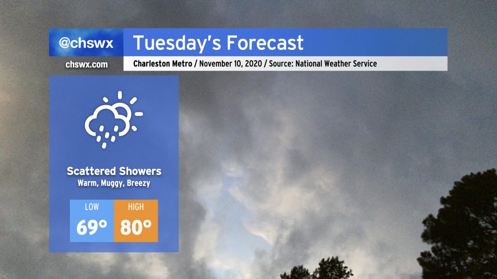
Expect a bit more in the way of cloud cover and showers for Tuesday as a moisture plume courtesy of Tropical Storm Eta begins to spread northward. Temperatures will remain rather warm for this time of year. We’ll start the day in the upper 60s to low 70s (especially near the coast). Temperatures will top out in the low 80s, with periods of cooling where showers develop. Shower chances will continue to ramp up with time on Tuesday, with thunderstorms becoming likely as we head into Wednesday.