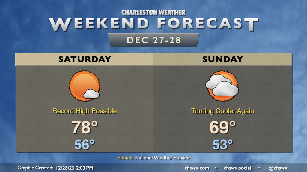
Quiet weather continues this weekend, though the temperature rollercoaster will continue to roll on as record highs Saturday yield to cooler (but still warmer-than-normal) temperatures on Sunday.
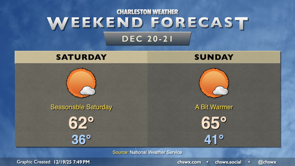
It’ll be a quiet and seasonable weekend of weather in the Lowcountry as we embark on the last shopping weekend before Christmas. Temperatures Saturday will start on the cool side, with calm winds and clear skies allowing temperatures to fall to the mid-30s by morning. Mostly sunny skies will help temperatures warm to the low 60s in the afternoon, about right where we should be for December 20.
The airmass moderates a bit on Sunday ahead of another front. We’ll start the day in the low 40s, warming to the mid-60s in the afternoon with mostly sunny skies once again expected. The frontal passage late Sunday will be dry, but will bring a decent shot of cool air to start the abbreviated work week on Monday. We’ll warm back up for Christmas, though, and may even crack 70° on Christmas Day, as we look to close 2025 on a warmer-than-normal note with sprawling high pressure developing aloft across much of the continental US.
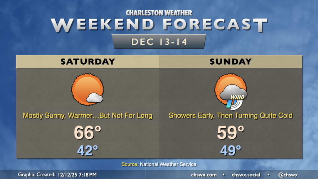
My advice to folks for this weekend: get out and about Saturday as much as you can, soaking in what passes for warmth during this rather chilly December, because another shot of very cold air is enroute to start the new week.
Saturday starts in the low-to-mid-40s, warmest near the coast. Southwesterly flow around high pressure to our east will help drive temperatures into the mid-to-upper 60s in the afternoon with just a few clouds at times. It’s going to be a pretty nice day, so get out and enjoy it!
The front arrives Sunday. A few showers are possible out ahead of the front, but many of us may stay rain-free. The front itself passes through around midday or so, and we should see temperatures begin to fall off in the afternoon. We’ll peak in the upper 50s to around 60° relatively early in the day as a result. Once the sun goes down, temperatures will plummet below freezing by midnight and will continue to fall heading into Monday morning.
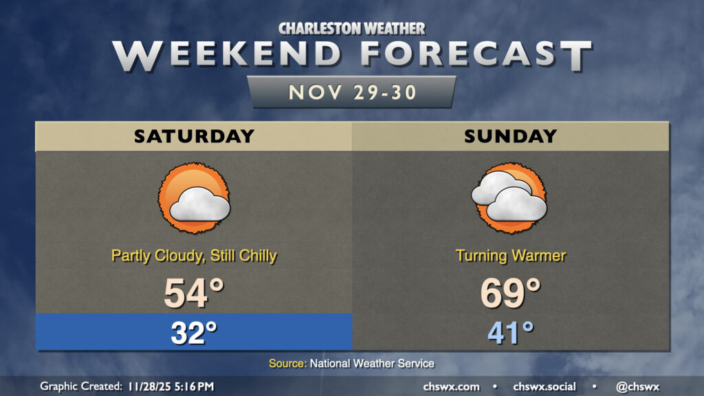
Overall, expect generally quiet weather to continue this weekend, though Saturday will get off to a very chilly start. Expect another morning around or below freezing across much of the area away from the locally warmer coastline, with breezy northeasterly winds making it feel more like the mid-20s. We’ll only warm to the mid-50s in the afternoon with partly cloudy to mostly sunny skies expected.
High pressure slips offshore overnight, and we’ll start to turn warmer on Sunday as a result as winds go more southerly. We’ll start the day in the low 40s, warming to the upper 60s to near 70° in the afternoon despite an increase in cloud cover over Saturday as a low spins up offshore. We’ll stay dry during the day, but a few showers will be possible overnight into early Monday morning as another front cools us back down to start December.
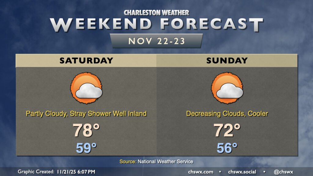
Another warmer-than-normal weekend lies ahead, though a front will restore at least a little order to temperatures for Sunday. First, though, a very mild Saturday lies ahead, with temperatures starting in the upper 50s, warming to the upper 70s to around 80° in the afternoon. A stray shower will be possible well inland, but the front will be generally making a dry passage overnight into early Sunday morning. It’s not a particularly potent front; temperatures will only drop a few degrees, but it will be a bit more seasonable regardless. Clouds will be on the decrease throughout the day, so sunshine will increasingly factor in.
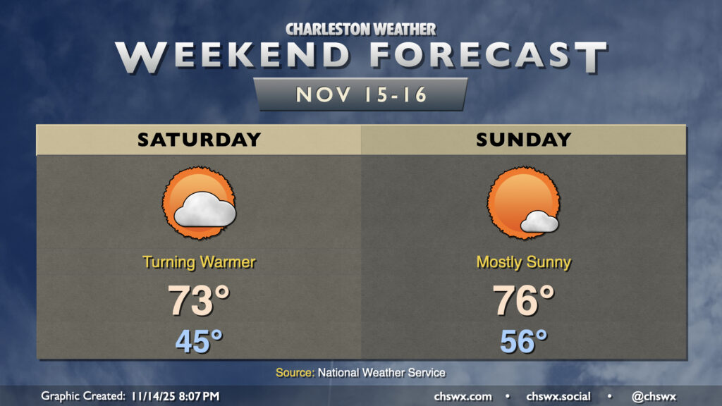
After a brief cooldown on Friday, temperatures head back above normal for the weekend as high pressure remains the dominant weather feature across the area. We’ll see the high that’s overhead as of Friday evening slip southward, sending wind directions a little more westerly to southwesterly, kicking temperatures back into the low-to-mid-70s on Saturday. Compressional heating ahead of an advancing cold front will send highs on Sunday solidly into the mid-70s after a warmer start in the mid-50s. This frontal passage once again looks dry thanks to a dearth of moisture; in fact, rain chances remain slim well into next week.
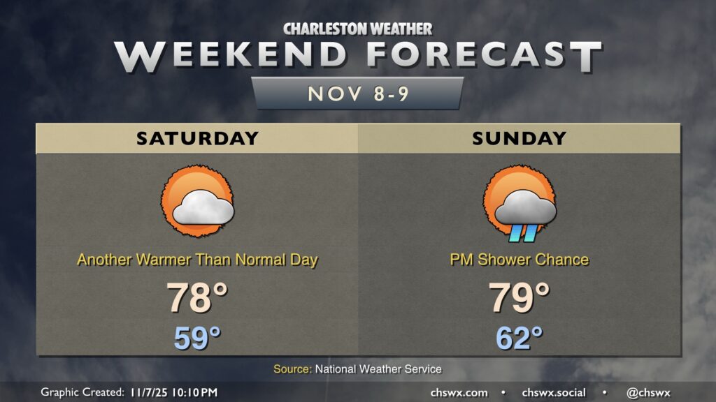
A couple more warm days lie ahead before the coldest airmass of the season crashes into the area next week. Saturday will generally feature temperatures in the upper 70s after starting the day near 60°. We’ll keep a few clouds around, but the risk for any rainfall should be very low.
A strong front approaches the area Sunday, and there’s a chance that some showers and maybe a thunderstorm could move through in advance, but the risk will be diminishing as the front pushes eastward as moisture doesn’t look to be in abundance. Temperatures Sunday peak near 80° after starting in the low 60s.
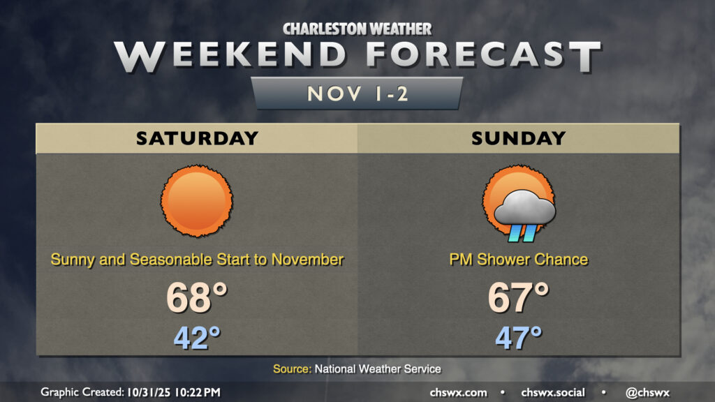
November will get off to a sunny and somewhat chilly start as lows head into the low 40s for the first time since late March with clear skies and calmer winds letting things cool off a little more than Thursday night. We’ll then warm to the upper 60s in the afternoon with plenty of sunshine to be had as high pressure slides overhead.
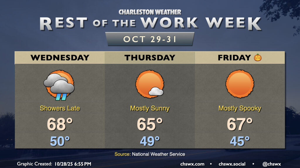
After the coolest day since late February — the high at the airport only peaked around 57° — we’ll turn warmer on Wednesday as an approaching cold front scours out the wedge of high pressure that brought us a dreary, drizzly Tuesday. We’ll start Hump Day around 50° under mostly cloudy skies once again. A warm front lifting northward will push through the area later in the afternoon, and it’s that warm front along with some breaks in the cloud cover which will help us warm to the mid-to-upper 60s later in the day. Shower chances will return in the evening through the overnight as a band of rain ahead of the cold front moves by.
Showers should depart by the time most of us get Thursday underway. We’ll start in the upper 40s to around 50° once again, warming to the mid-60s in the afternoon with much more in the way of sunshine than we’ve seen so far this week. Clearer skies overnight Thursday will allow Halloween to start a little cooler, generally in the mid-40s in the metro (with lower temperatures possible further inland as well as in some more rural areas). Unfettered sunshine will send temperatures in the mid-to-upper 60s in the afternoon. Trick-or-treaters and their accompanying guardians (where applicable) should expect temperatures to fall into the 50s around and after sunset.
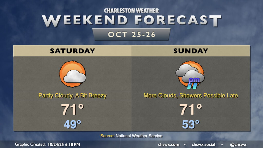
Generally speaking, we can expect good weather this weekend (especially on Saturday) with a wedge of high pressure building southward through the Carolinas into Georgia. This will lead to breezier conditions for the weekend as northeasterly winds kick up, and temperatures will run a couple clicks lower with cooler air moving in at the surface. Moisture will also start to overrun the wedge, and that will bring a gradual increase in dewpoints and cloud cover as low pressure develops in the Gulf. This low pressure system may bring us some showers later Sunday, and look to make for a soggy Monday.
Saturday’s lows will once again begin in the upper 40s (with some mid-40s inland), warming to the low 70s in the afternoon under partly cloudy skies. Cloud cover will continue to thicken on Sunday as moisture return continues; this will lead to a warmer start in the mid-50s before highs peak around 70-71° once again under mostly cloudy skies. Showers and maybe even some rumbles of thunder will be possible beginning Sunday evening, so keep that in mind as you make your weekend plans.