Heavy rain returns for Tuesday
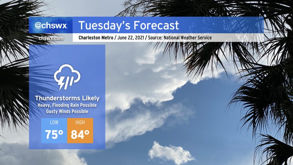
Most of us saw a dry day today, giving us a respite from the heavy downpours that have characterized June thus far. A cold front approaching from the west is going to put a swift end to this respite, though, as it runs into an atmosphere still plenty juiced up with tropical moisture and ready to wring out some more rainfall. Shower and thunderstorm coverage could begin to ramp up as early as tomorrow morning (and some guidance is fairly persistent in it firing up as soon as midnight), with the greatest risk of showers and storms in the afternoon and evening hours. Storms could produce torrential downpours which may produce isolated flooding episodes. Overall, 1-2” of rain will be possible across the area with locally higher amounts.
Additionally, there is the potential for wind damage to occur in some of the stronger thunderstorms, especially where outflow boundary collisions occur. Be alert for possible warnings in the afternoon.
The prevalence of showers and thunderstorms will act to keep high temperatures a few degrees below normal, generally running in the mid-80s. Heat indices will still climb into the 90s, though, thanks to the ever-present humidity.