Off and on showers and storms for Tuesday
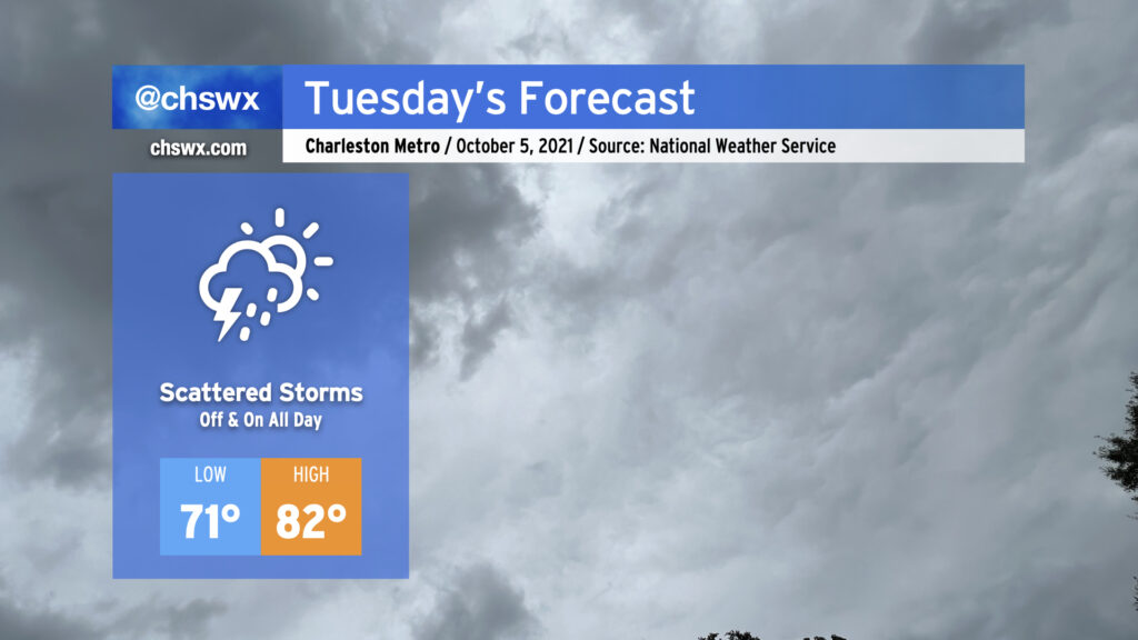
Scattered storms will enter the picture in earnest for Tuesday, perhaps as early as daybreak, as surface troughing combined with an upper low will provide the necessary ingredients for periods of rain tomorrow and for the next several days. Rainfall amounts should generally be light, but a few downpours within stronger storms cannot be ruled out. Temperatures will reflect the rather soggy atmosphere in place; lows won’t crack 70° in most spots and could bottom out in the mid-to-upper 70s at downtown, while highs won’t top out too far above 80° given expected cloud cover and rainfall in the area.
No severe weather is expected, but we will want to watch for the potential for some salt water flooding around the 7:52 PM high tide as astronomical effects combine with onshore flow to raise water levels in the harbor. The 7:35 AM high tide, which is forecast to fall short of coastal flood stage, will still bear a little watching in case a downpour develops near Downtown around that time, but the flood probability in the morning is generally low.