Scattered showers and storms continue for Thursday
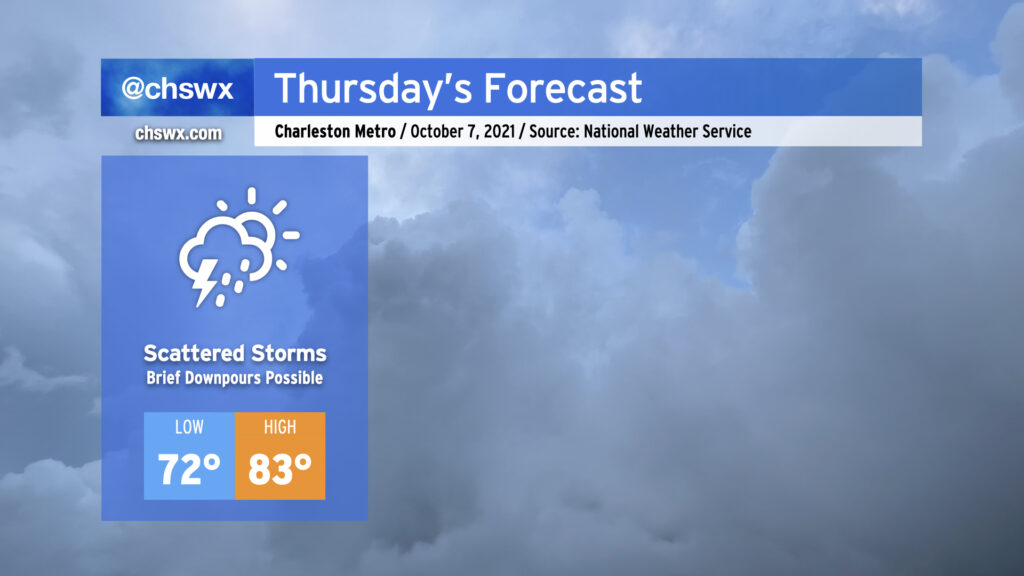
Rinse and repeat: More scattered showers and thunderstorms will be in the forecast as we remain within a deep plume of moisture ahead of a large upper low. We’ll sit between that low to the west and ridging to our south, with periodic disturbances rippling through instigating unsettled weather. Temperatures will remain above normal, especially in the mornings as we bottom out only around 72° away from the warmer coastline. (The normal low for early October? 62°.) Highs top out in the low 80s with plenty of cloud cover and rainfall in the area.
This pattern will begin to abate as we get into the weekend with the upper low opening up and retrograding to the north, but isolated to scattered showers will remain in our forecast well into next week.
We’ll want to keep an eye on times of high tide over the next few days, especially in the mornings, as astronomical effects combined with onshore winds will drive tides into flood stage. Salt water flooding could factor into the tail end of tomorrow morning’s commute. Some showers look to move through the area overnight, but should be out of here before tides become a problem.