Rest of the work week: Turning warmer, showers and storms Thursday

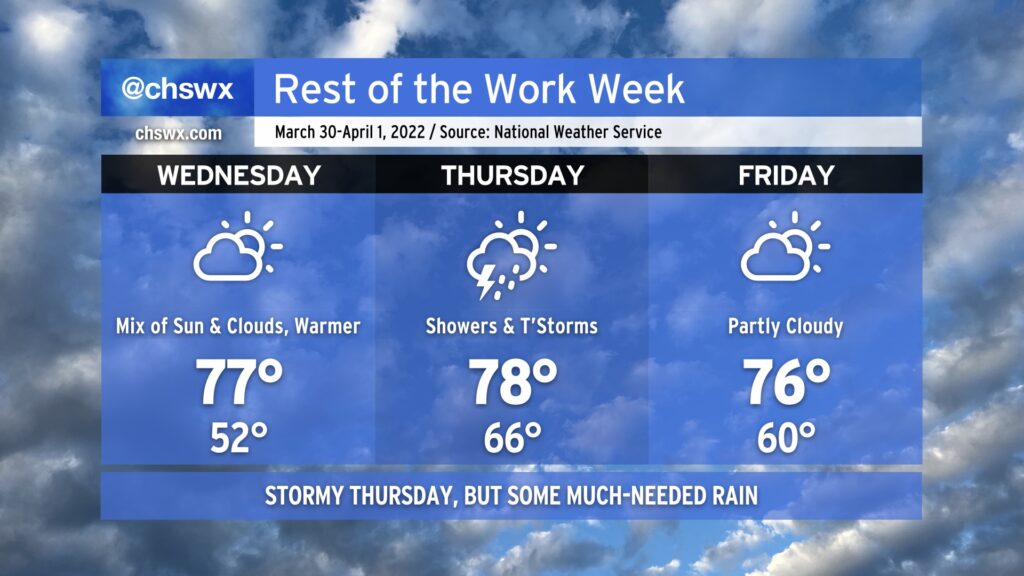
A warm front will lift north across the Lowcountry on Wednesday, putting an end to this stretch of below-normal temperatures and getting us in the warm sector of the next storm system which will affect the area Thursday before clearing the area Friday morning, yielding a docile finish to the work week.
Wednesday will remain rain-free; we’ll certainly notice the jump in temperatures, though, with upper 70s likely to be common under partly cloudy skies. Winds will turn breezy, with gusts 20-25 MPH possible at times.
We’ll be watching the weather to our west closely as the storm system produces what could be an especially nasty squall line across Mississippi and Alabama, moving eastward through the day Wednesday before weakening as it moves through Georgia. There will still be a marginal severe weather threat in the Lowcountry on Thursday as wind shear will be sufficient to sustain any storms that can get going. As usual, though, instability is going to be the main limiter. Much as we’ve seen so far this spring, the best-quality moisture will stay to our south and feed strong to severe thunderstorms in Florida and Georgia, while the better dynamics lift northward, putting us square in the middle of the “split” once again. The good news is that we should still see a fairly widespread rain across the drought-stricken area.
Regardless of thunderstorms, winds will be quite breezy once again on Thursday, with sustained winds 20-25 MPH and gusts 30+ MPH possible. Use caution when driving on bridges and overpasses.
The storm system clears the area by Friday morning, leaving us with temperatures a touch above normal and partly cloudy skies to close out the work week. Not a horrible day to get out and get lunch outside, but it could still be breezy at times.
Bridge Run weather: Comfortable chill, rain-free, not too windy

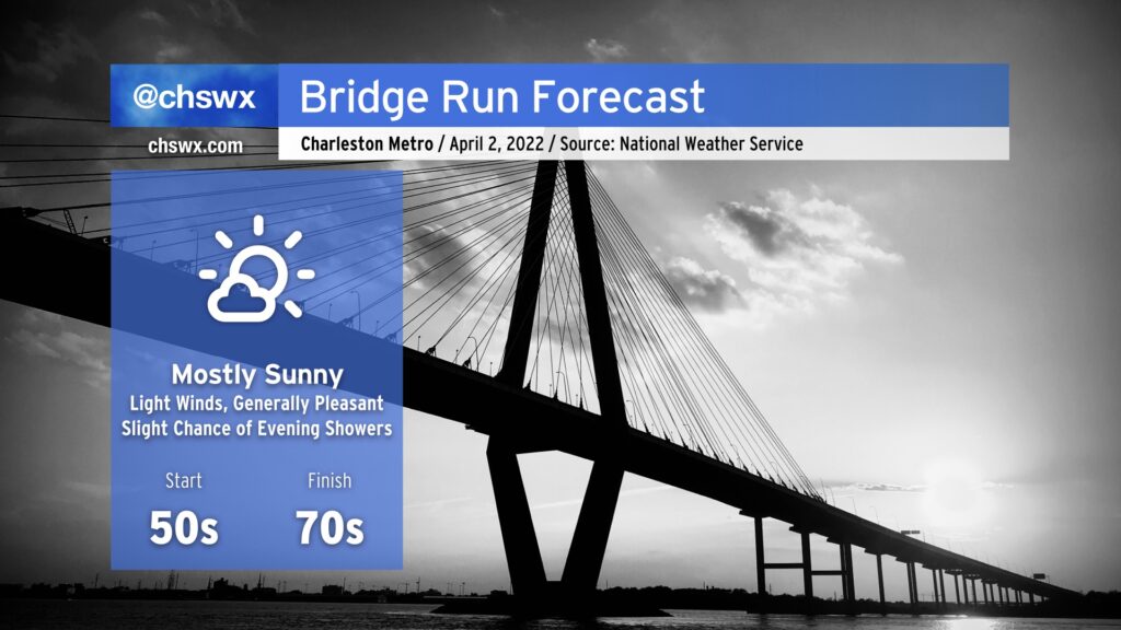
We’ve still got a few days to fine-tune this forecast, but so far things are still looking good for the Cooper River Bridge Run on Saturday morning. Starting temperatures should run generally around the mid-50s, and we’ll warm into the low 70s by the time most of us mere mortals finish the race. Winds don’t look to be too bad at race-time, either, shifting from the northwest to the east as the day progresses. We will stay rain-free for the race festivities, but shower chances improve Saturday night as a trough moves into the area. Overall, though, it’s looking quite good for those of you looking to, as we say around here, “get over it.”