Warming up over the weekend with continued sunshine

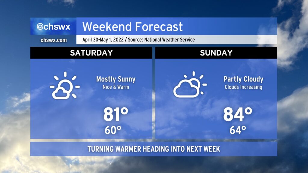
We’ve got another pretty good-looking weekend coming up. It won’t be quite as clear or as dry as last weekend, but it’ll still more than get the job done as temperatures rise through the 80s throughout the weekend. If sunshine’s your thing, suspect Saturday is going to be a little more in your favor as deep-layered high pressure hangs on for one more day, keeping cloud cover to just some scattered fair weather cumulus ahead of the seabreeze in the afternoon.
We’ll start to see high pressure aloft move out of our area a little bit more on Sunday. This should increase cloud coverage and could even introduce an afternoon shower or storm particularly inland. However, most of us will stay dry as highs head into the mid-80s in the afternoon. Outdoor activities are still go — just remember, when thunder roars, go indoors!
Looking ahead to next week, we see some of the warmest weather thus far this year in store particularly as we get into midweek and beyond. Periodic shower and thunderstorm chances will factor into the forecast, especially later in the week as a front gets nearby. But for now, enjoy the weekend as we flip the calendar to May! (Already!)