Another warm day for Tuesday with most of us staying rain-free
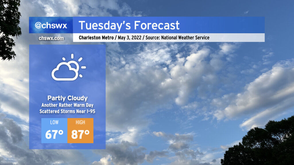
After Monday became the warmest day so far in 2022 with a high of 87°, Tuesday should come right back and at least match that with another round of warm and muggy weather. We’ll start the day in the mid-to-upper 60s away from the coast. (I wouldn’t be surprised to see temperatures not get below 70° in some spots at the beaches.) Temperatures will warm to the mid-80s under partly cloudy skies ahead of the seabreeze.
With high pressure still in play across the Lowcountry, afternoon shower and storm chances in the Charleston metro should stay at a minimum, but won’t be zero (as Daniel Island found out today with an absolute gullywasher). There will be a better chance of rain along and inland of I-95 where storms will have an easier time getting going thanks to surface temperatures approaching 90°. These storms should fall apart, though, as they move eastward toward the coast in the evening as sinking and cooler air behind the seabreeze circulation will help tamp out convection.
We continue to get warmer as the week goes on, with Thursday looking quite probably like our first 90° day of the year. A cold front could make Friday and the weekend a little unsettled, but will also restore some order to temperatures, bringing them back to early May norms by the end of the weekend.