More traditional summer-like storms expected Tuesday
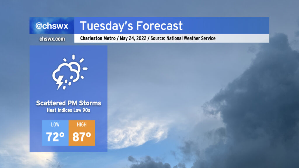
We remain warm and muggy on Tuesday as we remain on the warm side of a stalled frontal boundary to our north. Storm coverage should be a little lower for the afternoon, generally driven by daytime heating and the seabreeze, but a few spots may still yet get some heavy rain and even some gusty winds. Widespread severe weather is not anticipated, though. Highs in the afternoon top out in the upper 80s with heat indices in the low 90s.
Later in the evening, the aforementioned frontal boundary should get a bit of a move-on as low pressure heads eastward across North Carolina. Some of the convection-allowing models push the front into the area as early as 9-10 PM, accompanied by showers and maybe some thunderstorms. We’ll see how this ultimately pans out. Regardless, we should see the front — and some slightly drier air — at least temporarily poke into the area for Wednesday, stalling out over or just south of the Tri-County. Wait and see, but for now, we’ll continue to take the shots for beneficial rainfall, as long as the extra-curricular activity remains to a minimum.