Friday & the weekend: Pretty warm, turning a little stormy for Saturday
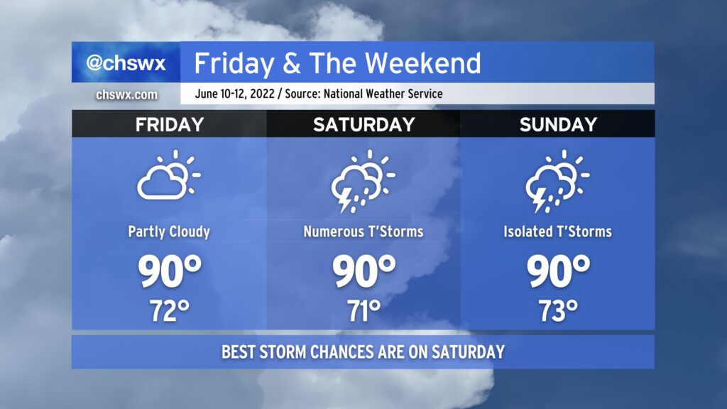
Friday and the weekend will remain on the warm side, with the best chance at showers and thunderstorms coming on Saturday before tapering off on Sunday.
We’ll be the beneficiary of some drier air on Friday, which should help keep thunderstorms to a minimum and put a little governor on the humidity. This will be short-lived, though, as the front that helps to usher in this drier air lifts back north of the area, putting us back in the soup on Saturday. It looks like showers and thunderstorms will begin to break out by mid-morning and continue well into the evening hours. Exact placement of storms will be driven by where storms initially fire and the subsequent propagation of outflow boundaries and the seabreeze. The trough driving some of this unsettled weather begins to lift north on Sunday, leaving us with generally standard chances of thunderstorms on the seabreeze in the afternoon.
Overall, expect highs around 90° each day ahead of thunderstorms, with heat indices generally in the mid-90s. This’ll feel cool compared to what’s coming down the pike for next week — it looks like we might have a few days of near-heat advisory conditions (heat indices 105°+) with little in the way of storms to help cool things off at least temporarily. We’ll want to watch trends closely for this potentially sweltering heat!