Hottest day so far in 2022 coming for Tuesday; a strong storm or two is possible, too
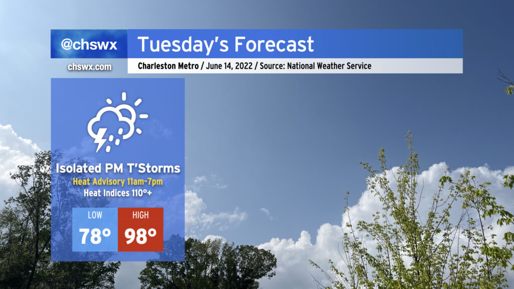
Another dangerously hot day for the Lowcountry is on tap for Tuesday, as temperatures soar into the upper 90s — and perhaps over 100° well inland — in the afternoon courtesy of an anomalously strong ridge of high pressure aloft. Factor in the humidity, and it’ll feel as hot as 110°+ during the peak of the afternoon, prompting a Heat Advisory from 11am to 7pm for the entire Tri-County area.
We haven’t seen heat like this in a long while. The last time air temperatures reached Tuesday’s forecast high of 98°, COVID wasn’t even in our vocabulary: it was August 10, 2019.
Looking for thunderstorms to help temper the heat? Don’t count on them, as coverage should be isolated at best. If storms do get going, they’ll be able to take off and become severe with damaging wind gusts and large hail. We’ll also be watching areas to our north with close interest tonight into tomorrow, as a potential mesoscale convective system could move into and through the Mid-Atlantic states during the day. This could help drive a cold front southward, bringing with it perhaps a better shot at some showers and storms later in the evening. These, too, could be on the strong side. The Storm Prediction Center outlines the area in a marginal (1 out of 5) risk for severe storms Tuesday.
Oppressive heat looks to continue for much of the rest of the week, with a slight downshift in intensity Thursday and Friday (but not enough to elude more Heat Advisories). Mercifully, this heat wave should break on Sunday after another front pushes through the area and actually cools things off somewhat. But for now, make sure you’re getting plenty of shade and water if you must be outside in the afternoon.
Coastal flooding will continue to be an issue as well around the times of evening high tide. Watch for the potential for road closures each evening, and be on the lookout for Coastal Flood Advisories from the National Weather Service.