Tuesday: Turning warmer with scattered storms
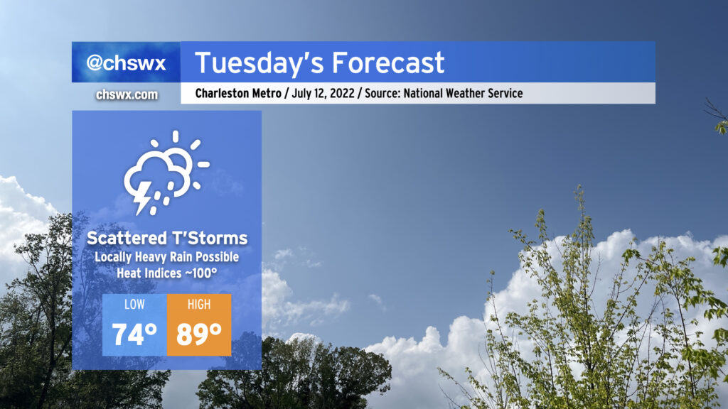
After an absolutely delightful break from the heat today — as of this writing, today’s high was 80°, putting us on track to break the record low maximum temperature of 81° set in 1972 — we return to a little more reality for Tuesday as the wedge of high pressure in place today breaks down and the stationary front washes out. Air temperatures will approach 90° in the afternoon, and with the humidity in place, it’ll feel closer to 100°.
Showers and thunderstorms will be a possibility throughout the day, with the best chance in the afternoon. It wouldn’t be shocking to see a few storms earlier in the morning, though, based on some of the high-resolution guidance. In particular, the HRRR depicts a cluster of storms moving northeastward through the Tri-County in the morning, and the NAM 3km gives some support to this idea as well. We’ll want to keep an eye on that for commute-time downpours. Otherwise, the seabreeze should do its thing in the afternoon, with scattered thunderstorms a possibility along and ahead of it. Not everyone will see a storm, but where it does storm, there will be a risk for heavy rain considering the abnormally high moisture content in our little slice of the atmosphere. Lightning and maybe an isolated wet microburst will pose a concern as well, but widespread severe weather is not anticipated.
Moderate coastal flooding will be a concern in the evening around the 7:47 PM high tide. Water levels could approach 7.6-7.8′ in the harbor, leading to another round of road closures due to salt water flooding. With any luck, the thunderstorm threat should be inland by this point, but we’ll keep an eye on it.
A similar pattern continues into Wednesday before another front approaches Thursday, driving rain chances up quite highly once again to close out the week. We’ll want to watch Thursday and Friday for the potential for another round of flooding rainfall, too. As always, stay tuned…