Scattered showers and storms for Tuesday as a front stalls out
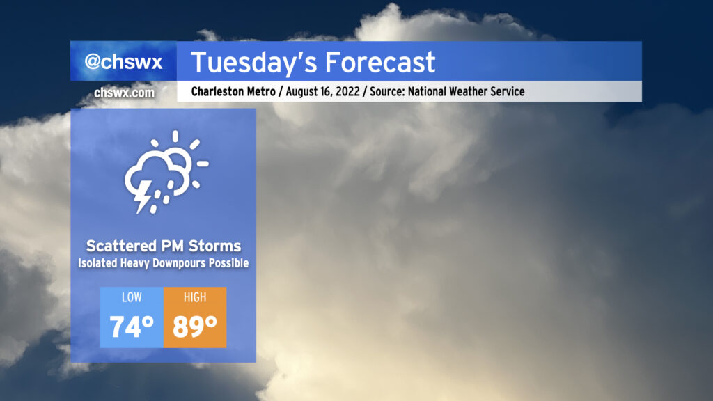
Tuesday will begin a stretch of unsettled days across the Lowcountry as a cold front moves into the area and stalls out. This will help kick off showers and thunderstorms in the afternoon, with some heavy rain possible at times in the strongest storms. There are some indications in the high-resolution ensemble guidance that we could see heavy rain near the coast later in the evening as the boundary approaches; fortunately, we’ll be heading toward low tide during commute time. That being said, be ready for a little longer drive home.
Highs will top out near 90° before the onset of showers and thunderstorms; mix in low 70s dewpoints and it’ll feel around 95-97°. This is right around normal for mid-August.
Wednesday could run a little cooler and a little drier as the front could sag south of the area briefly before meandering back northward on Thursday. Likely rain chances will continue through the end of the work week into the weekend.