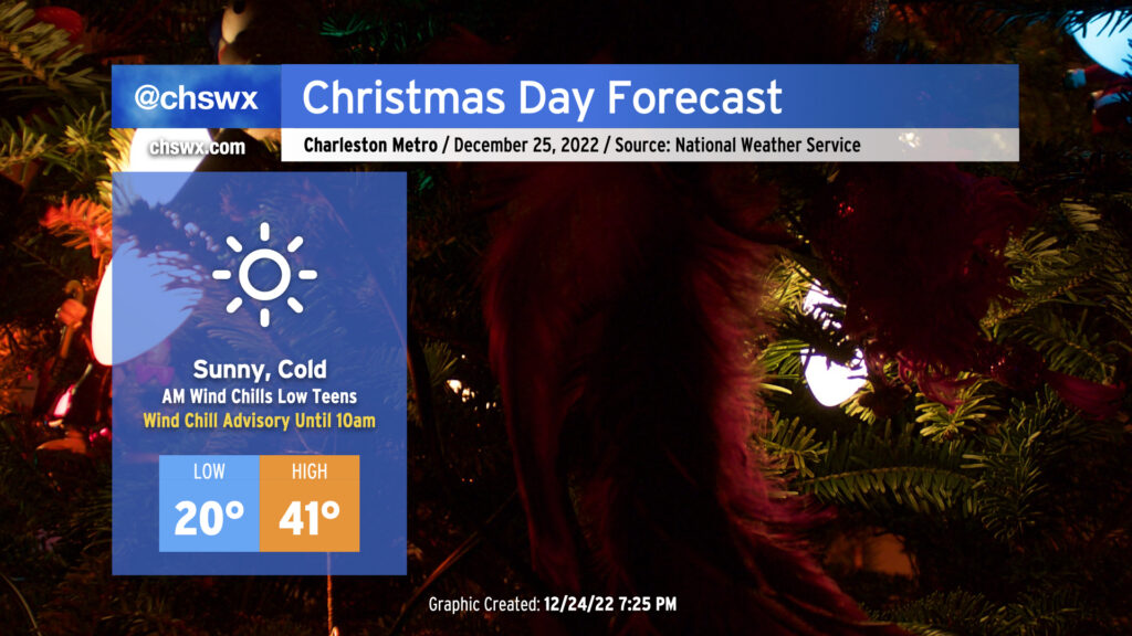
Christmas Day forecast: At least we get above freezing

After record-breaking cold on Christmas Eve, we have another round of cold — but perhaps not quite as cold — weather for Christmas Day.
We begin the day with another Wind Chill Advisory as another round of low teens wind chills is forecast across the area. Air temperatures will drop to around 20°, with another dip into the teens possible further inland as well as in more rural areas. The good news is that after what should amount to about 40 consecutive hours below freezing, we will finally exceed the melting point by early afternoon, which will give us some much-needed thaw time. Skies will be mostly clear throughout the day, and at least some unfiltered sunshine will help it feel not as bitterly cold as it was on Saturday, though wind chills will still, at best, run in the low 30s.
A few rewrites for the Christmas Eve temperature record books
Record cold was the name of the game this Christmas Eve, and we didn’t even need any snow on the ground to help achieve those records. Downtown set both a new record low (19°) and a new record low maximum (31°) for Christmas Eve. This broke the records of 21° and 34°, respectively, that were set amidst the 1989 snowstorm. Additionally, today marked only the tenth time since records began in 1893 that downtown Charleston bottomed out in the teens in the month of December.
While we fell short of the record low of 16° set in 1989 at Charleston International Airport, the observed low of 18° was only the second time since records began in 1937 that we’d get as cold as the teens on Christmas Eve. Additionally, 18° ties 1944, 1955, 1985, and 2010 for the tenth-lowest minimum temperature recorded in the month of December. (The lowest? 8° on December 13, 1962.) However, the high of 32° was a new record low maximum for Christmas Eve, once again breaking a snowstorm-influenced 33° set in 1989.
Happy holidays!
I hope all of you out there have a happy, safe, and warm holiday season. Thank you, as always, for choosing to include @chswx in your daily weather information diet. I’ll be posting tomorrow evening with some good news for those of you who appreciate a little more in the way of warm weather!
Follow my Charleston Weather updates on Mastodon, Bluesky, Instagram, Facebook, or directly in a feed reader. Do you like what you see here? Please consider supporting my independent, hype-averse weather journalism and become a supporter on Patreon for a broader look at all things #chswx!