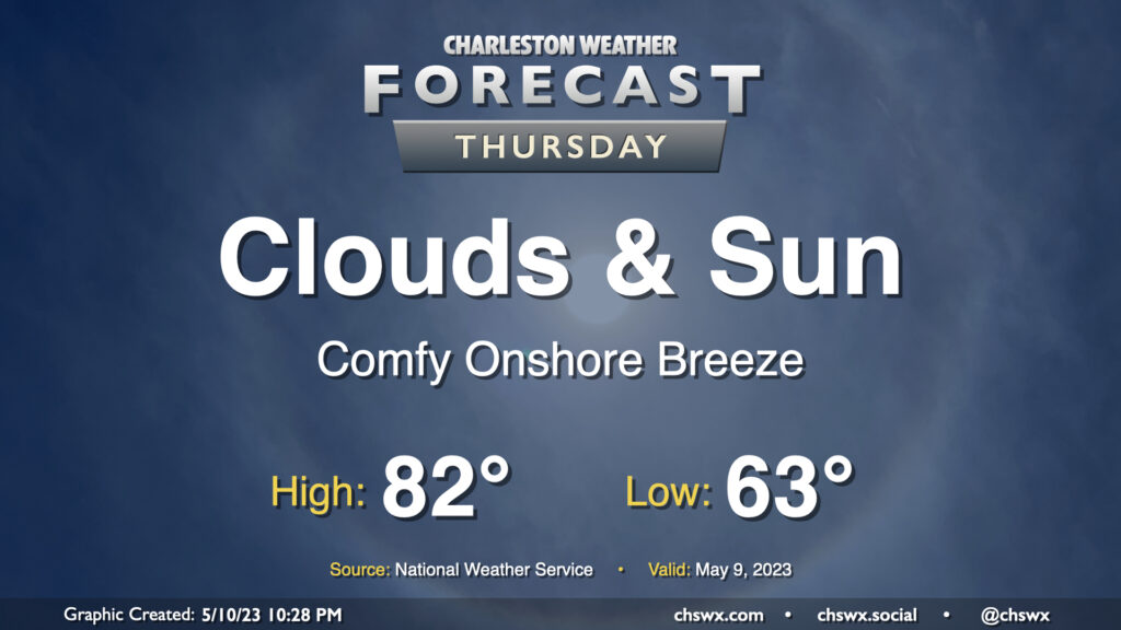
Thursday: Mix of sun and clouds, still comfortable

Not much to write home about weather-wise on Thursday. We’ll see a mix of clouds and sun throughout the day and continued comfortable temperatures; lows start in the low 60s with highs topping out in the low 80s in the afternoon, with an easterly breeze and the expected broken cloud cover to be a contributor to those temperatures. All in all, no hazards are expected and it should be a fine day.
Friday & the weekend: Turning much warmer

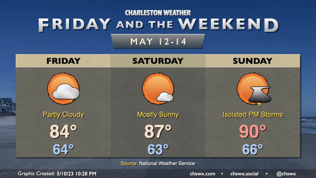
A warming trend commences Friday as high pressure slips offshore. We’ll get another partly cloudy day in with temperatures running a couple clicks above where we were on Thursday, generally in the mid-80s in the afternoon.
Saturday should be mostly quiet and even warmer, with highs topping out in the mid-to-upper 80s in the afternoon. A model or two wants to place some precipitation in the area Saturday afternoon, but those chances are rather low at this point and the expectation remains that we get in activities such as College of Charleston’s graduation unscathed.
Sunday should yield our second 90° day of the year as a little warmer air begins to advect into the area ahead of a front that becomes our issue for the start of the work week. An isolated afternoon and evening thunderstorm can’t be totally discarded, but it appears the bulk of us stay dry for now. (Still rooting for that rain-free weekend myself.) The next solid-ish rain chance arrives Monday into Tuesday with the aforementioned front. All in all, not the worst weekend forecast we’ve seen in recent weeks, that’s for sure — just be ready to dodge a storm or two on Sunday afternoon.