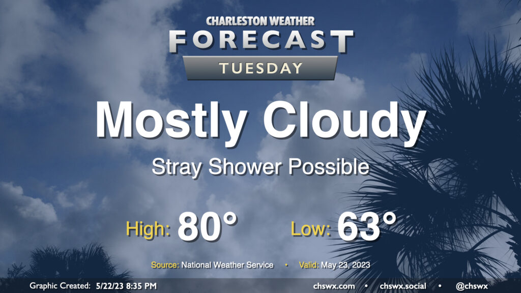
Tuesday: Cooler-than-normal conditions continue with perhaps a stray shower

Cool high pressure remains in control for Tuesday bringing partly to mostly cloudy skies and highs well below mid-to-late-May normals. We’ll start the day in the low 60s before temperatures head to just about 80° in the afternoon — we’re normally looking at highs in the mid-80s at this point in the year. A stray shower could develop in the afternoon, but models show a pretty deep dry slot aloft that should preclude widespread precipitation.
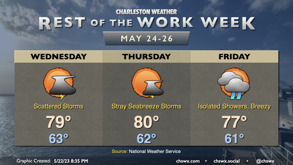
Rest of the work week: Remaining unseasonably cool, a storm or two from time to time

Unseasonably cool weather (not the worst thing in mid-to-late May, mind you) continues through the end of the work week with a storm or two from time to time as the seabreeze gets going each afternoon. Lows each day start in the low 60s with highs in the upper 70s to around 80° — very much April fare, and I don’t think many of us will complain too much. Friday’s forecast could turn a little wetter based on whether low pressure that spins up offshore tracks a little closer to the coast, but for now, expecting just isolated showers and maybe an uptick in the northeasterly breeze with a tightening of the pressure gradient. This cooler weather looks to persist as we get into the holiday weekend, too. Enjoy it…it won’t last forever!
Follow my Charleston Weather updates on Mastodon, Bluesky, Instagram, Facebook, or directly in a feed reader. Do you like what you see here? Please consider supporting my independent, hype-averse weather journalism and become a supporter on Patreon for a broader look at all things #chswx!