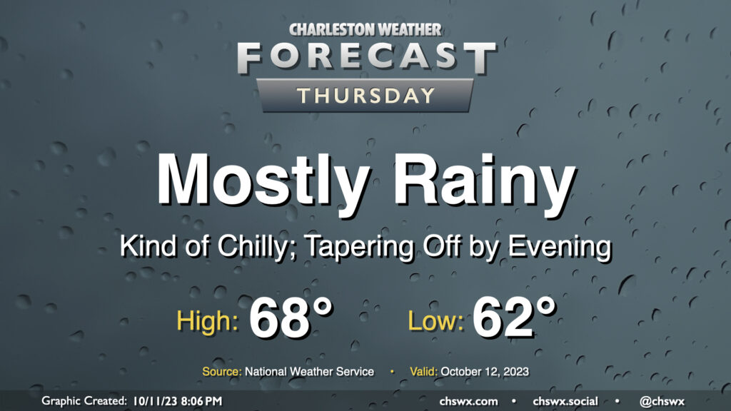
Thursday: Rainy, chilly day ahead

Showers overspreading the area Wednesday evening will continue for much of Thursday as low pressure moves offshore, allowing high pressure to wedge in behind it from the northeast. While rain chances taper heading into the evening, cloud cover should remain robust and temperatures on the cool side thanks to the wedge. We shouldn’t get out of the upper 60s, in fact. All in all, Thursday looks to be a good jacket or hoodie kind of day.
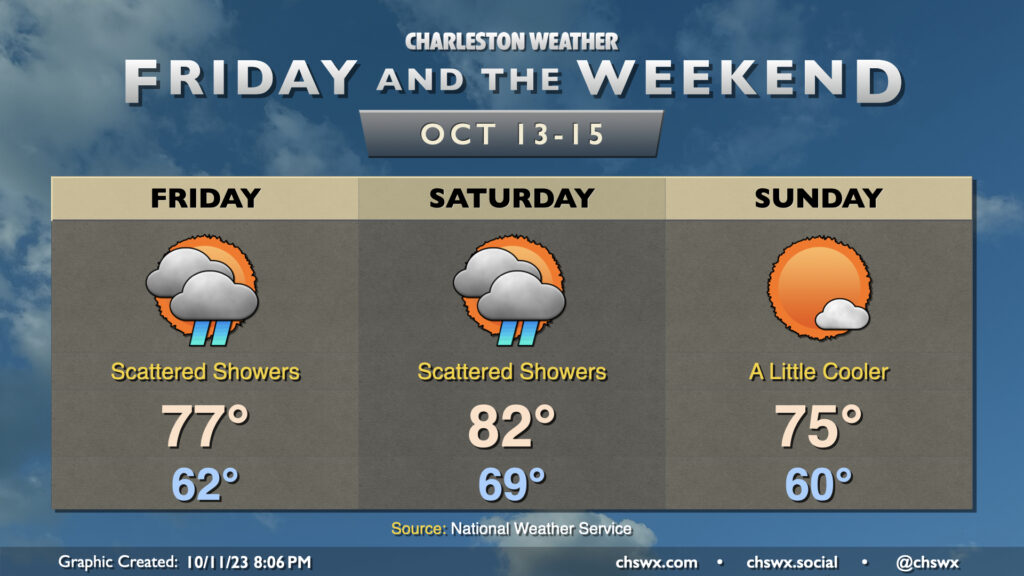
Friday & the weekend: Couple more showery days before drying out

Clouds and showers hang around Friday, though we should begin to see temperatures warm up a bit more as the wedge erodes and winds turn a little more out of the east rather than the northeast. Assuming all goes well with the wedge eroding some — and we all know how this can be a tricky thing to time — we should see highs top out in the mid-to-upper 70s despite continued cloud cover and periods of showers. Winds take on a more southwesterly component of motion on Saturday, which will help propel highs to the low 80s after lows possibly approaching 70° (a little on the high side at this point in the year). A few showers will remain possible, but drier air will be moving in, which will gradually draw down rain chances. By Sunday, a front will have come by, and it’ll be a much more seasonable day with highs topping out in the mid-70s. We turn even cooler Monday-Wednesday, with highs perhaps not breaking 70° despite partly cloudy to mostly sunny skies.
Follow my Charleston Weather updates on Mastodon, Bluesky, Instagram, Facebook, or directly in a feed reader. Do you like what you see here? Please consider supporting my independent, hype-averse weather journalism and become a supporter on Patreon for a broader look at all things #chswx!