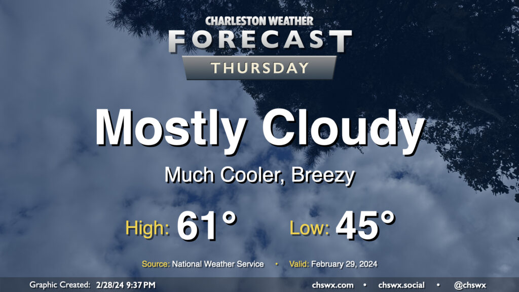
Thursday turns much cooler ahead of an unsettled weekend

We’ll wake up to much cooler air on Leap Day as a cold front will be long-gone by Thursday morning. Temperatures will start in the mid-40s, warming only to the low 60s at best as high pressure wedges into the area. We’ll get some peeks of sun at times, but the mid-and-high cloud deck will prove formidable. It’ll be a breezy day as well, especially in the early going. By evening, we will start to see more in the way of low-level moisture return to the area, which could bring a few showers late Thursday.
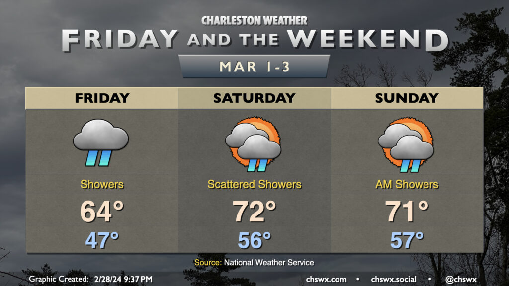
Friday & the weekend: Largely unsettled, though turning warmer

Friday will be a fairly wet day across the area as a trough near the coast evolves into a coastal low. It’ll be a little breezy, too, with easterly winds generally in the 10-15 MPH range with higher gusts possible. Temperatures will run generally within spitting distance of normal — mid-40s lows warming to low-to-mid-60s highs in the afternoon.
Showers will become more scattered in nature as we get into Saturday morning with the surface low moving away, though rain chances will hang around throughout the day as more disturbances move through aloft. It looks to be a much warmer day, with lows in the mid-50s and highs in the low 70s currently forecasted, but cloud cover will largely persist and could help keep temperatures a few degrees cooler. Showers remain possible through Sunday morning before a brief period of rain-free conditions begins Sunday afternoon. Temperatures once again run above early March normals, with lows in the mid-50s warming to the low 70s in the afternoon.
Rain chances return Monday afternoon and look to hang around through mid-week at least as temperatures remain above normal.
Follow my Charleston Weather updates on Mastodon, Bluesky, Instagram, Facebook, or directly in a feed reader. Do you like what you see here? Please consider supporting my independent, hype-averse weather journalism and become a supporter on Patreon for a broader look at all things #chswx!