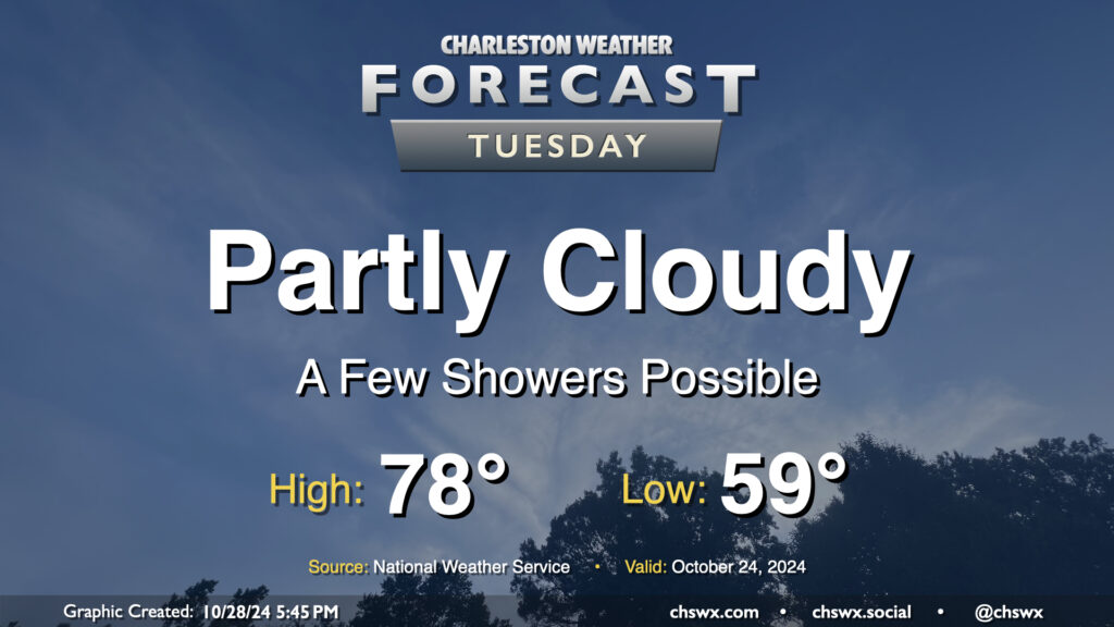
Tuesday: Maybe a stray shower, but otherwise partly cloudy

A surface trough will push inland Tuesday, and this could spread a few showers ashore throughout the day. Rain chances are pretty small, though, given the continued dry conditions, and any rain that does fall probably will not amount to a whole heck of a lot. Rain chances diminish by evening. Otherwise, expect partly cloudy skies. Temperatures will begin to trend back above normal, with upper 50s in the morning yielding to highs in the upper 70s in the afternoon.
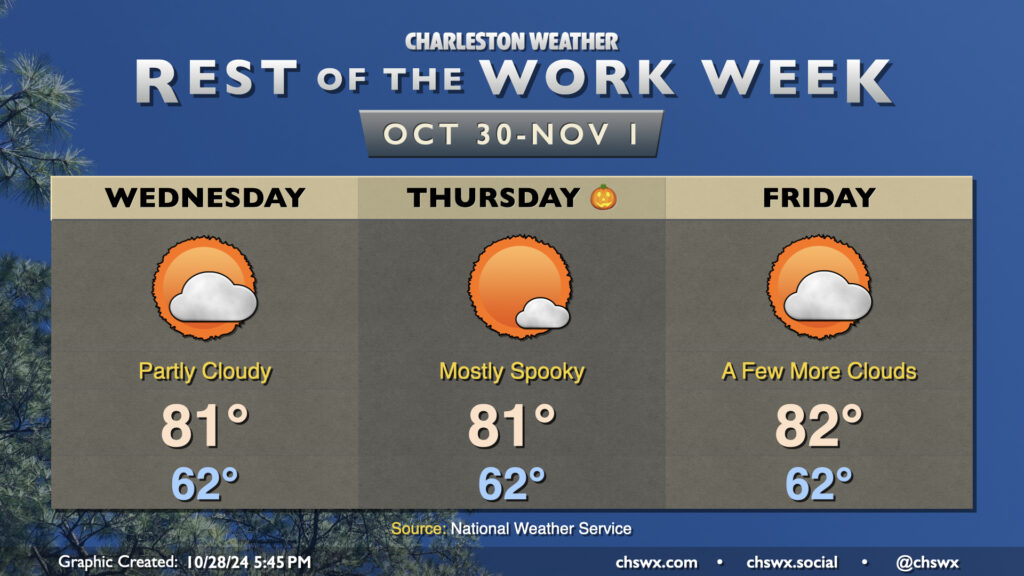
Rest of the work week: Back to the 80s

High pressure will settle in over the area for the second half of the work week, and that’ll keep temperatures above normal with generally partly cloudy to mostly sunny skies. Expect highs in the low 80s each afternoon after mild mornings in the low 60s — temperatures more apropos of the beginning of October than the end of it. We’ll cool off slightly over the weekend as a weak front moves by, but above-normal temperatures and virtually no rain chances will carry over into the start of November.
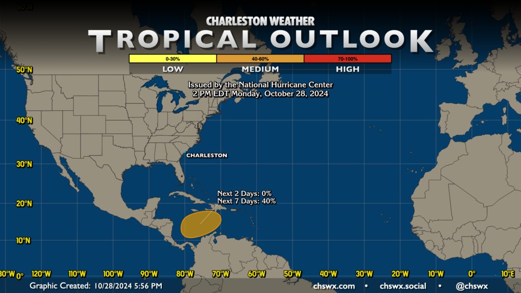
Tropics: Still watching the area in the Caribbean

Not a whole lot has changed in the tropical outlook compared to last night as the National Hurricane Center continues to monitor an area in the Caribbean for possible tropical development later this week. Right now, NHC gives it a 40% chance to develop; we’ll wait and see how this plays out. That being said, the pattern across the continental US should keep any tropical development well away from our neck of the woods, and there are no tropical worries as a result.
Follow my Charleston Weather updates on Mastodon, Bluesky, Instagram, Facebook, or directly in a feed reader. Do you like what you see here? Please consider supporting my independent, hype-averse weather journalism and become a supporter on Patreon for a broader look at all things #chswx!