Thursday: One more day of lower humidity and sunny skies
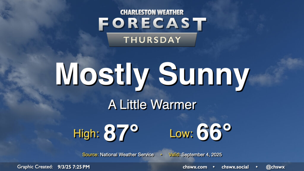
We’ll start to turn a little warmer on Thursday as high pressure to the northeast breaks down a bit, but we should still get one more good day of low humidity in before we start to see dewpoints begin to climb back toward 70° starting Friday. Temperatures on Thursday start quite comfortably once again, with mid-60s the general rule across much of the area. We’ll warm to the upper 80s on Thursday afternoon with plenty of sunshine. The only fly in the ointment may be some very minor coastal flooding around the 6:19 PM high tide, with water levels currently forecast just below 7′. If water levels trend a little higher, a Coastal Flood Advisory may be issued. Otherwise, though, it’ll be another really nice early September day in the Lowcountry.
Friday & the weekend: 90s return, storms to follow
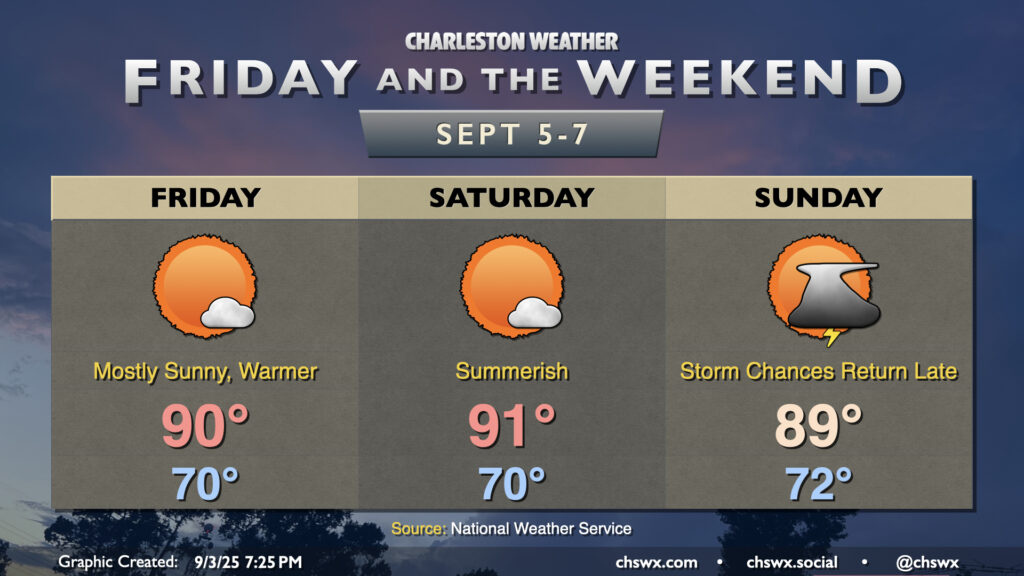
Dewpoints climb back into the mid-to-upper 60s overnight Thursday into Friday, and we’ll feel it with low temperatures closer to 70° across the area as opposed to the mid-60s we expect Thursday morning. We’ll keep plenty of sunshine in play, though, with highs reaching around 90° in the afternoon. Dewpoints mix down slightly to the upper 60s during peak heating, so heat indices should only climb a degree or two warmer than the air temperature.
Saturday will be a touch warmer and a touch more humid, with highs peaking in the low 90s once again after another start around 70°. We’ll get one more rain-free day in, though. An approaching front changes things a bit for Sunday, with more cloud cover and humidity expected ahead of it. This keeps highs in the upper 80s to around 90°, and while we should get a fair bit of the day in rain-free, storm chances return for the late afternoon into the evening hours courtesy of the aforementioned front. This will usher in an unsettled period for at least the start of next week, especially near the coast. So, enjoy these few more quiet days before the rain returns!
Tropics: New depression increasingly likely to form
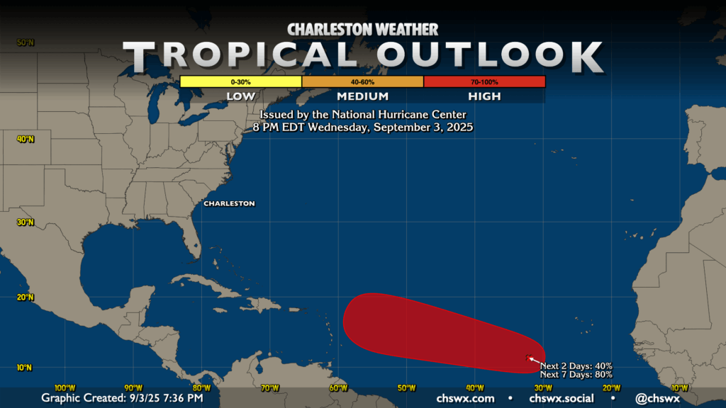
NHC continues to increase the odds of a tropical depression forming in the eastern to central Atlantic over the next few days, and it’s looking likely that we’ll have our next tropical system before the weekend is out. Model guidance continues to carry the storm across the Atlantic over the next several days. As is typical, the strength of the storm may play a role in where and when it turns northward, with a weaker storm trending more westward (and vice versa). All in all, it’s nothing to be worried about right now; if that changes, we’ll let you know.
Follow my Charleston Weather updates on Mastodon, Bluesky, Instagram, Facebook, or directly in a feed reader. Do you like what you see here? Please consider supporting my independent, hype-averse weather journalism and become a supporter on Patreon for a broader look at all things #chswx!