Thursday: Another unseasonably warm day; maybe an afternoon storm
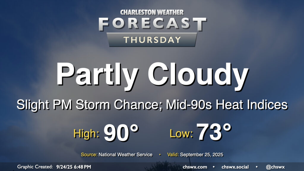
After hitting 91° on Wednesday, we look to take another trip to the 90s on Thursday as ridging aloft combines with Atlantic high pressure to keep us well on the warm side of normal for another day. Temperatures start in the low to mid-70s, well above normal for this point in the year, warming to the 90s in the afternoon with heat indices making it feel more like the mid-90s. We could see a stray shower or thunderstorm in the afternoon and evening along and ahead of the seabreeze, but most of us should stay dry.
Friday & the weekend: Turning unsettled as we watch the tropics
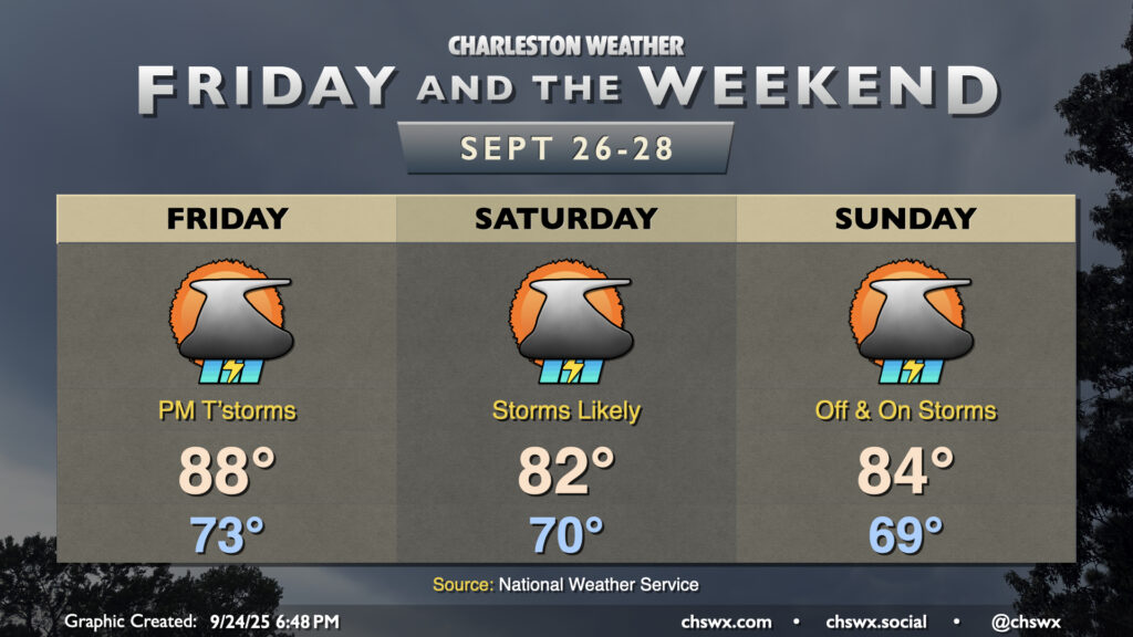
An approaching cold front and upper-level trough will bring a round of unsettled weather to the area for Friday and the weekend. We could certainly use the rain as it’s been a little bit since many of us have had an appreciable shower or thunderstorm. Friday will be one more warm day before the aforementioned front gets by, as temperatures reach into the upper 80s in the afternoon, tempered only by the aforementioned uptick in showers and thunderstorms that’s expected to kick off by early afternoon. The upper-level trough may cut off and meander for a few days, which will cause the front to stall offshore. We’ll be on the cool side of the front on Saturday, but it’ll still be rather unsettled with periods of showers and thunderstorms expected for much of the day, particularly in the afternoon and evening as daytime heating gets going. Off and on storms continue into Sunday, too, as the front remains stalled just nearby. Temperatures look similar to Saturday’s as nothing really changes too much with the surface and upper-air configuration.
Tropics: Humberto forms; Invest 94L likely next
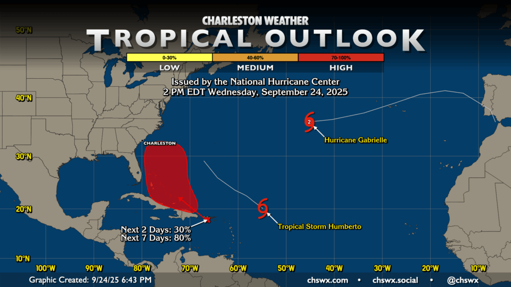
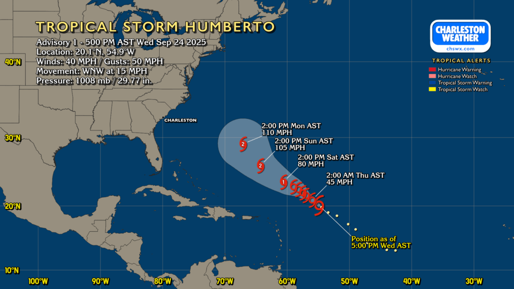
The tropics have certainly woken up. Hurricane Gabrielle continues to churn quickly toward the Azores and eventually Portugal (albeit as an extratropical cyclone at that point). Meanwhile, Tropical Storm Humberto, formerly Invest 93L, was christened at 5PM to the northeast of the Leeward Islands. It’ll move slowly west and northwest over the next few days, likely strengthening into a hurricane over the weekend.
And then there’s Invest 94L. 94L continues to look likely to develop by the weekend, with NHC giving it an 80% chance to develop over the next seven days. 94L will be of interest as it moves northwestward into the Bahamas, which gets it a little closer to home than we might like. It gets weird from there as models genuinely don’t know how to handle what looks to be a very complex setup over the Eastern Seaboard. We’ll have the stalled front just offshore, an upper-level low that might be cut off and meandering over the Mid-Atlantic states, and possible interaction with Humberto all coming into play, the latter of which may influence whether it even develops or not. As a result, it’s just too soon to know exactly what, if any, concerns may arise from 94L, though an uptick in high surf and rip currents seems probable even if only from Humberto. NWS offices throughout the Southeast and Mid-Atlantic states will be releasing six-hourly weather balloons to try and get as much data into the models as possible to help resolve this complex forecast problem. For now, all we can do is monitor the situation, but it may be worth reviewing your hurricane plan just in case, too. If there are any impacts, they’d arrive in the early-to-mid-next week timeframe. Stay tuned…
Follow my Charleston Weather updates on Mastodon, Bluesky, Instagram, Facebook, or directly in a feed reader. Do you like what you see here? Please consider supporting my independent, hype-averse weather journalism and become a supporter on Patreon for a broader look at all things #chswx!