Rest of the work week: 80s return
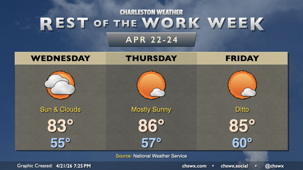
High temperatures return to the 80s on Wednesday as high pressure begins to move out into the Atlantic. This is the continuation of a warming trend that will last into the weekend, which will feature temperatures returning to the mid-to-upper 80s ahead of a front that will bring the first decent chance of rain in a couple weeks.
We’ll start Wednesday in the mid-50s before more southerly winds help to bring in some warmer air. We’ll see a mix of sun and clouds, with an uptick in cloud cover as compared to Tuesday courtesy of a bit of a disturbance rippling through aloft. The cloud cover diminishes to close out the work week, with mostly sunny skies expected Thursday and Friday with high pressure remaining in command of our weather. This will help drive temperatures into the mid-80s each afternoon.
Rain soon?
Heading into the weekend, a front will begin to sag into the area from the north. Model guidance is increasingly on board with that front wringing out some moisture, especially as we get into Saturday evening through Sunday. It won’t be drought-busting, but we will take whatever rain we can get. Overall, the pattern is looking to turn a little more active, with isolated to scattered storms possible for much of next week. Stay tuned!
Follow my Charleston Weather updates on Mastodon, Bluesky, Instagram, Facebook, or directly in a feed reader. Do you like what you see here? Please consider supporting my independent, hype-averse weather journalism and become a supporter on Patreon for a broader look at all things #chswx!