Weekend forecast: Turning warmer with a few more clouds
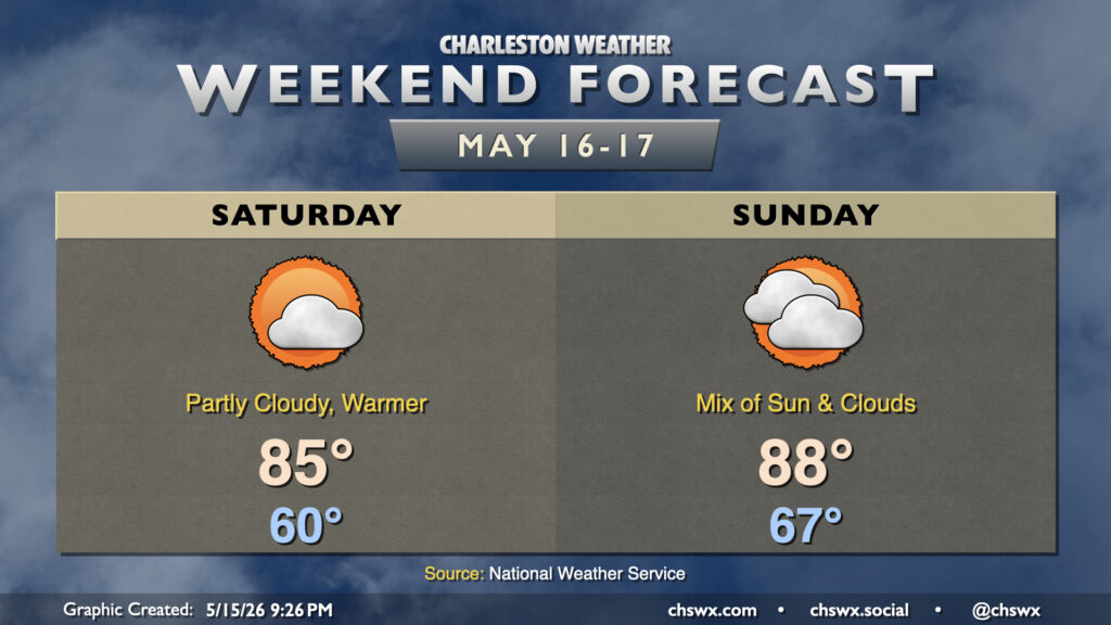
We’ll turn warmer over the weekend as high pressure aloft and at the surface remain the main weather features. With high pressure moving offshore, winds out of the south and southeast will bring warmer and somewhat more humid air into the area. This will contribute to a little more in the way of cloud cover, but despite that cloud cover, highs still peak in the mid-80s. Clouds thicken in the mid and upper levels on Sunday, but that doesn’t stop temperatures from running in the upper 80s in the afternoon. Shouldn’t see any rainfall, though, as the better moisture and rain chances will be well, well inland. Not excellent for the ongoing extreme to exceptional drought across parts the Lowcountry.
The only main weather-ish concern will be the risk for tidal flooding with the evening high tides over the weekend. Water levels with Friday evening’s high tide reached 7.29′ MLLW, and we can expect similar performances over the next couple nights. This will be high enough to close a few of the more vulnerable roads in downtown Charleston, so be ready to reroute if necessary.
Follow my Charleston Weather updates on Mastodon, Bluesky, Instagram, Facebook, or directly in a feed reader. Do you like what you see here? Please consider supporting my independent, hype-averse weather journalism and become a supporter on Patreon for a broader look at all things #chswx!