Memorial Day weekend update: On & off showers and storms possible
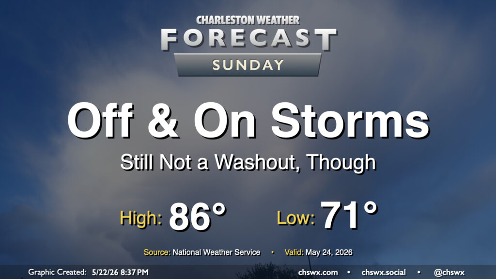
Showers and maybe a few thunderstorms will continue to be in play for the forecast as we get into the midpoint of the long Memorial Day weekend, though the greater activity will continue to be found along and west of the I-95 corridor. For Sunday, we can expect the bulk of our activity likely during the morning and early afternoon hours before the seabreeze pushes inland and takes most of the activity with it. However, showers will be possible throughout the day, so be ready to move outdoor plans inside just in case a shower or thunderstorm approaches.
Memorial Day: A scattering of showers and storms, but nothing out of hand
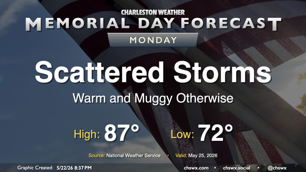
High pressure nudging back westward across the area will bring about a little less in the way of shower coverage (though, to be fair, it’s already been fairly scant over the Tri-County) and a little more in the way of sunshine for Memorial Day. We should still see some showers and thunderstorms initiate along and ahead of the seabreeze, though, so stay ready to move outdoor plans indoors in case a thunderstorm threatens. Some showers will be possible at the beaches in the morning, but should clear out there in the afternoon. Temperatures will be warm and muggy, with lows in the low 70s warming to the mid-to-upper 80s in the afternoon.
Follow my Charleston Weather updates on Mastodon, Bluesky, Instagram, Facebook, or directly in a feed reader. Do you like what you see here? Please consider supporting my independent, hype-averse weather journalism and become a supporter on Patreon for a broader look at all things #chswx!