Rest of the work week: Plenty of sunshine, turning warmer
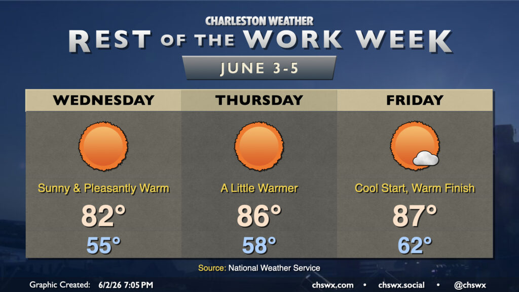
Rain is done for a few days as dry high pressure builds down into the area, bringing about comfortable warmth as we get down the home stretch of the work week. It won’t feel like June on Wednesday as temperatures bottom out into the mid-50s away from the locally warmer coastline. Expect highs to peak in the low 80s in the afternoon with nearly unfettered sunshine as deep dry air sets in. Savor the low humidity because we don’t have too many more days like this left for a while!
If the beach is in your plans, be aware of a high risk of rip currents during the day Wednesday due to the ongoing northeast flow. It’s best to stay out of the water on days like this
Temperatures begin a rebound Thursday and Friday, but dewpoints will still be on the low side for this time of year, so while it will get warmer, it won’t be that bad. Thursday will continue to feature basically unfettered sunshine with highs in the mid-80s after another sub-60° start away from the coast. The surface high begins to shift offshore on Friday, turning winds a little more east and southeast. This will start to bump dewpoints back up a bit and promote a few clouds during the day. Still, the low of 62° is well below normal for this time of year, and highs in the mid-to-upper 80s will feel a little more like June.
The warming trend continues into the weekend, during which we could flirt with 90° again with a bit more in the way of humidity returning to the picture. The next rain chance looks to arrive Monday as ridging breaks down a bit and another front tries to sink southward toward the Carolinas.
Follow my Charleston Weather updates on Mastodon, Bluesky, Instagram, Facebook, or directly in a feed reader. Do you like what you see here? Please consider supporting my independent, hype-averse weather journalism and become a supporter on Patreon for a broader look at all things #chswx!