Independence Day weekend: Hot, increasingly humid
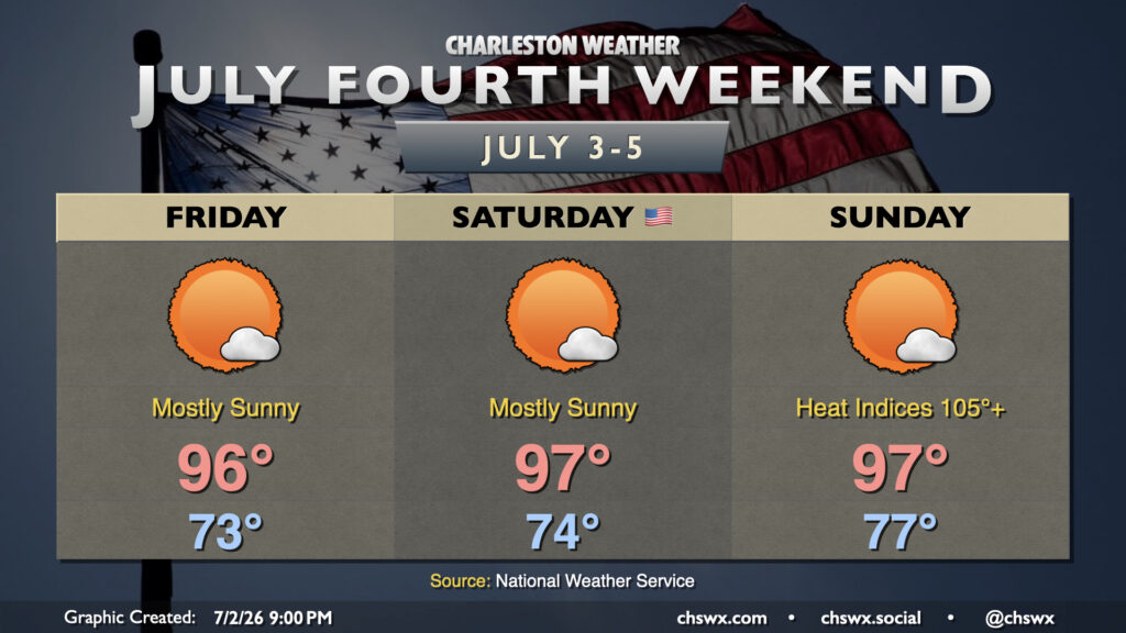
A hot and increasingly humid airmass will blanket the Lowcountry for the Fourth of July holiday weekend. Temperatures will run in the mid-90s each day, and with dewpoints climbing back into the 70s, heat indices will continue to escalate into the 100s, with the highest values each day being found in the Highway 17 corridor where the best overlap of dewpoints and air temperatures will be found. Heat indices will peak around 100-101° on Friday, 102-106° on Saturday, and should approach the Heat Advisory threshold of 108° on Sunday. Nights will impart increasingly less relief, too, with lows climbing into the upper 70s to around 80° by Sunday, warmest near the coast and in downtown Charleston. The warm nights will compound heat stress, especially for folks who don’t have adequate cooling, which is why it’s so important to take it easy during these hot stretches.
If you’re looking for thunderstorms to cool things off, I wouldn’t really count on those either. The atmosphere should stay capped Friday and Saturday, with a slightly better chance for a stray storm on Sunday but still low enough of a chance as to be technically unmentionable (~10%). If a storm can kick off, watch for frequent lightning and gusty winds. With that being said, the vast majority of us should get a rain-free holiday weekend in.