Weekend forecast: Unsettled pattern continues
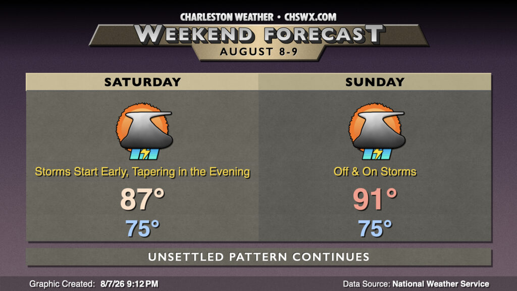
Overall, unsettled weather will continue over the weekend, though as is often the case in the summer, your plans won’t be completely washed out, either.
More widespread rain returns to the area on Saturday after a pocket of dry air helped keep some of us — but certainly not all of us — out of the rain today. A disturbance will approach the area along with a return of deep Atlantic moisture to spread showers and thunderstorms across the area, especially along the coast, starting not too far after daybreak. Most folks should see some rain at some point on Saturday, with the heavier rain most likely falling east of the 17-A corridor. There will be a risk for pockets of every heavy rain leading to some flooding given a tropical airmass across the area, so be alert for possible flood advisories throughout the day. Storms should diminish as we get into the evening for most of us, so your Saturday isn’t totally washed out. The more widespread clouds and rain should hold highs into the mid-to-upper 80s in the afternoon after another balmy mid-to-upper-70s start.
While we’ll see a little less coverage on Sunday, we should still see a round of showers and thunderstorms along and east of 17-A before the focus for development shifts further inland. A few spots could still see some heavy downpours, but the flooding risk appears much lower. With a little less in the way of cloud and shower coverage, temperatures should rebound to the low 90s in the afternoon.
Follow my Charleston Weather updates on Mastodon, Bluesky, Instagram, Facebook, or directly in a feed reader. Do you like what you see here? Please consider supporting my independent, hype-averse weather journalism and become a supporter on Patreon for a broader look at all things #chswx!