Thursday: Warmth continues with afternoon storms
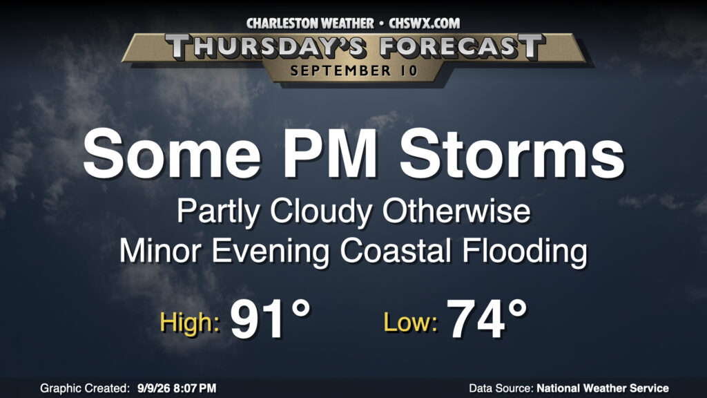
Late-summer heat and humidity continues to build as temperatures look to return to the 90s for Thursday after a balmy start in the mid-70s. We should see a bit more in the way of afternoon showers and thunderstorms on the seabreeze with high pressure beginning to weaken, though not everyone will see rain, either. A few pockets of heavy rain will be possible with moderate instability and precipitable water values (generally the amount of water you could wring out of a column of air) a little over 2″.
There may be one more round of salt water flooding with Thursday evening’s high tide around 8:18 PM, but it’ll be on the minor side with water levels peaking in the 7-7.2′ range. Rain shouldn’t be an issue as the seabreeze will be well inland by that point, though. From here, we should see diminishing astronomical influences and less of a chance for coastal flooding, though there remains an outside shot on Friday coincident with the full moon.
Friday & the weekend: Turning more unsettled
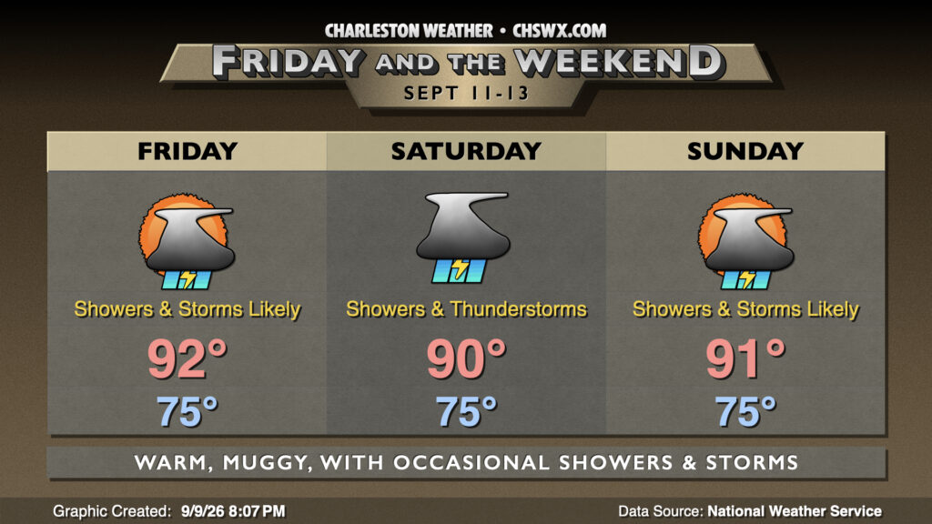
Plenty of moisture setting up across the area along with some energy aloft will keep scattered to numerous showers and thunderstorms in the forecast each afternoon, especially on Saturday. Atlantic high pressure staying in place will help temperatures head to the low 90s each afternoon, with heat indices pushing 100° before thunderstorms fire and bring some relief. All in all, we should see about a half-inch to an inch of rain in most spots by the end of the weekend, with locally higher amounts possible.
Tropics: Eerily quiet as we reach the climatological peak of the season
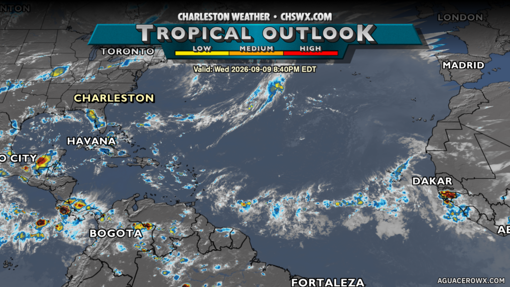
September 10 marks the climatological peak of hurricane season, but the tropical outlook map certainly doesn’t look that way with no areas of particular interest to the National Hurricane Center. There are some waves out there, but the shear is just not going to let up, and most guidance keeps the basin pretty quiet for the next week-plus. Still, we will want to keep an eye on any fronts that nudge south and stall out, as those can be a good source of homegrown tropical activity. Stay tuned…
Follow my Charleston Weather updates on Mastodon, Bluesky, Instagram, Facebook, or directly in a feed reader. Do you like what you see here? Please consider supporting my independent, hype-averse weather journalism and become a supporter on Patreon for a broader look at all things #chswx!