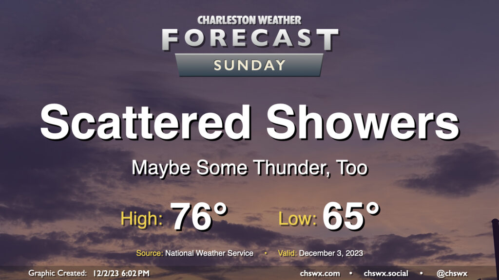
A cold front approaching the area should kick off some scattered showers at times throughout the day, with the best chances for rain generally occurring around midday to early afternoon. It’ll be one more unseasonably warm and muggy day across the area despite full overcast: lows will bottom out in the mid-60s — right in the neighborhood of the typical high for early December — with highs topping out in the mid-70s in the afternoon. It may be warm enough for some instability to develop, which could lead to a thunderstorm or two even as the front gets closer during the evening. No severe weather is expected, though. Generally speaking, rainfall amounts won’t be much to write home about — a few hundredths of an inch for most, with perhaps some locally heavier accumulation if a storm can fire. Shower chances taper after sunset, with the front to follow overnight.
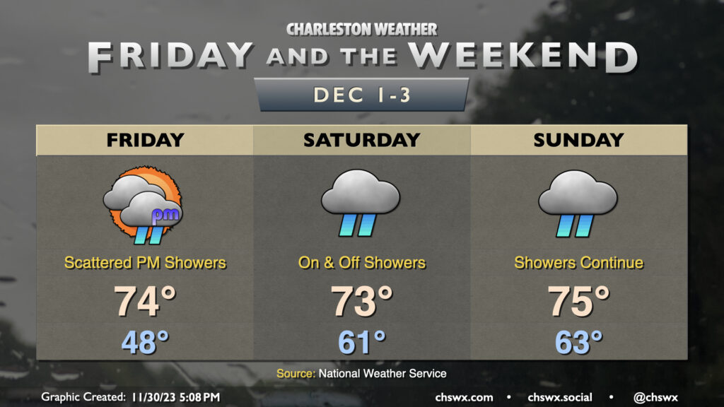
The weekend will be unseasonably warm with off and on showers, particularly starting Saturday afternoon and lasting into Sunday. The first thing of note will be the low temperatures in the low to mid-60s each morning. The normal high for early December runs around 67° or so…and we’ll be within striking distance of that in the mornings. Afternoon highs will be tempered by cloud cover and shower activity, but will still run well above normal in the mid-70s. As for the rain, it looks to be fairly on and off, with models hinting that a thunderstorm complex moving across the Gulf Coast into Florida may rob some of the moisture transport into the area. This could act to reduce the amount of rain we ultimately receive and may make the weekend look like less of a washout than first thought. We’ll keep an eye on this, but keep rain gear handy anyway and be ready for travel issues, because when it sprinkles, traffic snarls.
Our recent chilly spell will come to an end on Friday as warmer and more humid air moves back in just in time for the start of meteorological winter (December-February). We start Friday in the upper 40s — well above where we have started the past few mornings — and warm to the mid-70s in the afternoon. Unfortunately, showers will also be returning to the forecast, with isolated to scattered showers developing in the afternoon and increasing in coverage overnight heading into Saturday.
Saturday should feature the greatest shower coverage, with on and off rainfall expected. It’ll still be warm, though — lows start in the low 60s, roughly where our high was on Wednesday — with temperatures heading to the low-to-mid-70s despite the rain in the area. Showers will keep on going into Sunday, though coverage may become a little more sparse as we head into the afternoon and evening hours. That being said, most of the models still have showers going well into Sunday night, so keep the rain gear handy. We’ll run about as warm, if not slightly warmer, than Saturday, with highs running solidly in the mid-70s.
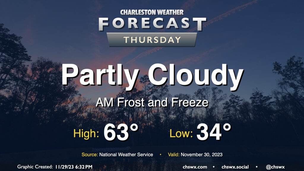
Keep those plants covered or indoors: Frost and freeze conditions will return Wednesday night into Thursday morning as cool high pressure remains in place for one more day. Lows will bottom out in the low to mid-30s in much of the metro, with the warmer temperatures near the water. We could even see some 20s further inland and in more rural locations as well. Make sure your pets have a safe place to be tonight!
Temperatures on Thursday will warm to the low-to-mid-60s in the afternoon under partly cloudy skies, perhaps running a few degrees warmer than Wednesday’s highs, but still on the cool side of normal for late November.
A Freeze Warning is in effect for Tuesday night and Wednesday morning. Expect temperatures to fall into the 20s inland of 17-A, with temperatures around 30° in much of the rest of the metro area. Places closer to the water such as downtown and the islands should stay just above freezing, though frost will be a concern there as well. Bring in your sensitive plants and make sure your pets have a warm place to be tonight.