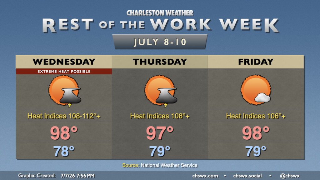
Thursday: Another day of high heat
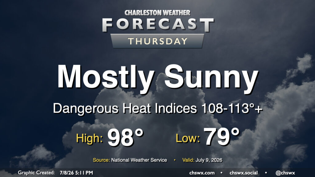
It was a stifling hot Wednesday in the Lowcountry, with highs reaching the upper 90s and heat indices peaking between 113-116° in parts of the metro area. Another round of high heat is in store for Thursday, as temperatures once again return to the upper 90s. Dewpoints near the coast and behind the seabreeze should surge well into the mid-to-upper 70s once again, sending heat indices between 108-113° (with locally higher readings possible) in the Highway 17 corridor. This has prompted another Extreme Heat Warning for Charleston County as well as the southern portion of Berkeley County that includes Hanahan and Daniel Island. Elsewhere, a Heat Advisory will be in effect for heat indices around 108-110°. Model guidance still suggests a few showers and thunderstorms will fire off along and ahead of the seabreeze, which will help cool some of us off. Coastward storm motions moving against the inland-moving seabreeze could cause some back-building of thunderstorms with some locally heavy rain. The strongest storms could produce damaging wind gusts, and a warning or two can’t be totally ruled out as a result.
Read more »