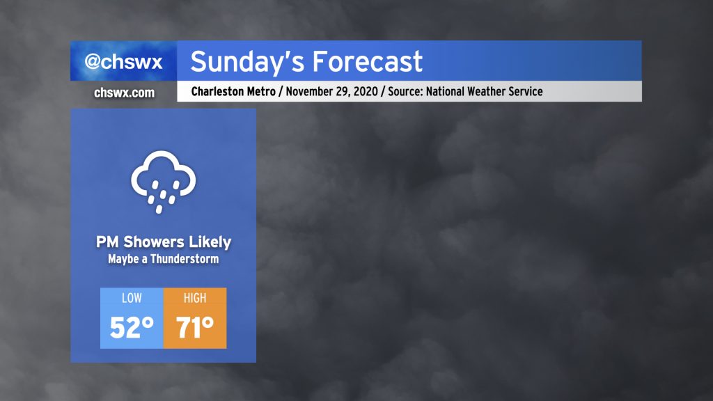
Sunday will start out dry and mostly cloudy, but will turn more rainy as a warm front lifts north across the area during the afternoon and evening. This rainfall is associated with a storm system that will move across the Gulf Coast states tomorrow and then more northeastward into the Mid-Atlantic Sunday night into Monday, ushering in a legit winter chill behind it — just in time to start meteorological winter on Tuesday.
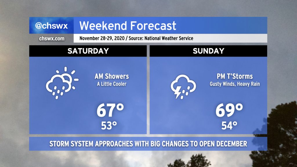
While it’d be unfair to characterize the weekend as a washout, we do face periods of unsettled weather as a frontal boundary remains stalled to our south in Georgia and a potent storm system approaches the area from the west.
Saturday morning, expect light rain to move across the area as a wave of low pressure along the stalled front moves from west to east with a little upper-level support to boot. It’s not likely that we’ll see much more than a tenth or two of an inch of rain across the Lowcountry from this round of rain, and it should conclude by early afternoon. We should get at least a few peeks of sun before Saturday’s all said and done, and the evening will remain dry. Temperatures will run a little cooler than previous days, only topping out in the upper 60s.
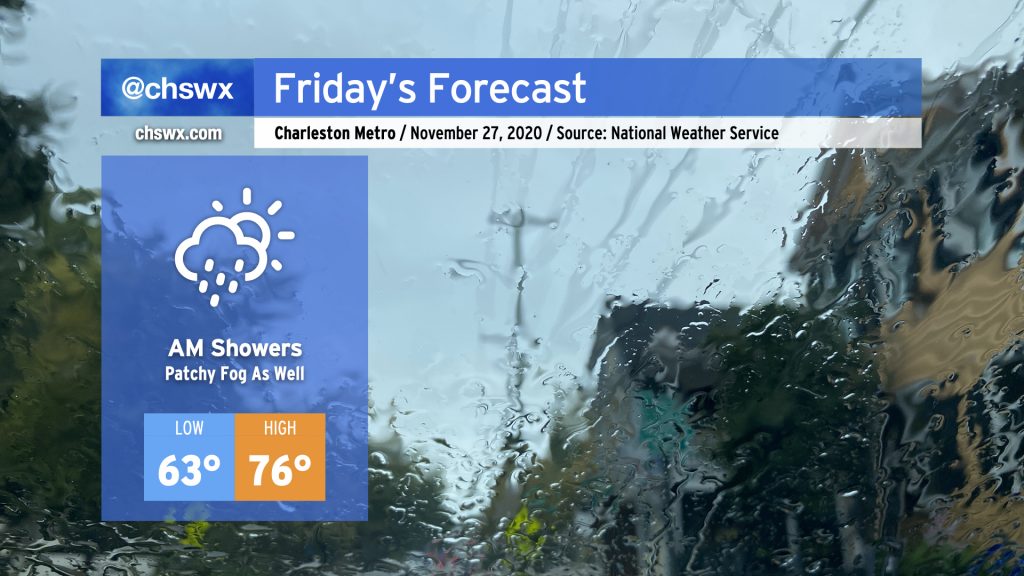
We’ll start the Friday after Thanksgiving with some showers as a cold front slowly trudges through the area. Once this front is through, rain chances will decrease and we should have a fairly nice afternoon, with temperatures still running well above normal in the mid-70s — though not quite getting to 82° like we did today.