Unsettled weather will continue for Friday and into Valentine’s weekend as the overall pattern remains quite…well, gross.
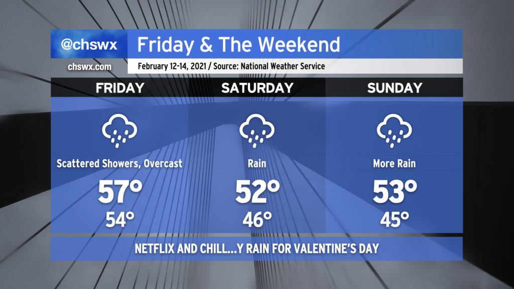
We start Friday out with dense fog blanketing coastal areas and some showers in the area. (Use those low beams.) Showers will be off and on throughout the day. Temperatures are not going to move a whole heck of a lot overall as high pressure wedges down into South Carolina and Georgia, setting up cold air damming that will characterize much of the rest of the weekend’s weather. The forecast high of 57° at the Charleston airport should be realized fairly early in the day before the wedge front slides through.
Moisture overrunning the cold air damming wedge will keep clouds and rain in the forecast for much of the weekend. It’s unlikely that it will rain all the time, but it could rain at any time. Temperatures will run several degrees below normal beneath the cold wedge, but while it will feel chilly, temperatures will remain far too warm for any precipitation type issues here in the Lowcountry.
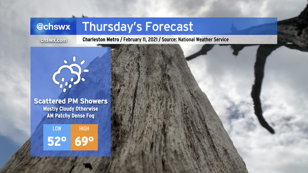
Watch out for fog Thursday morning as you commute — it could turn dense at times, so you’ll want to ensure you’re using the low beams and allowing a little extra time to get where you need to go.
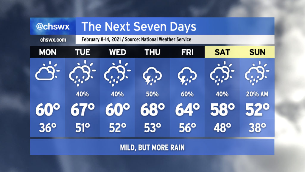
After the fog clears up, we’ll still see mostly cloudy skies, but we could see a few peeks of sun at times. Regardless, temperatures look to warm to near 70° in the afternoon ahead of a cold front. Rain chances will increase as the day goes on, but don’t expect much in the way of widespread rainfall until after dark.
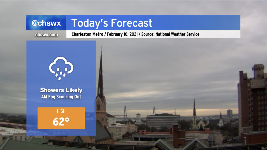
Showers will become likely by this afternoon as high pressure wedges into the area from the north and warmer air overruns it. Temperatures should generally top out in the low 60s — right around where we should be for this time of year. Keep rain gear handy, especially this afternoon, but significant rainfall issues are not expected.
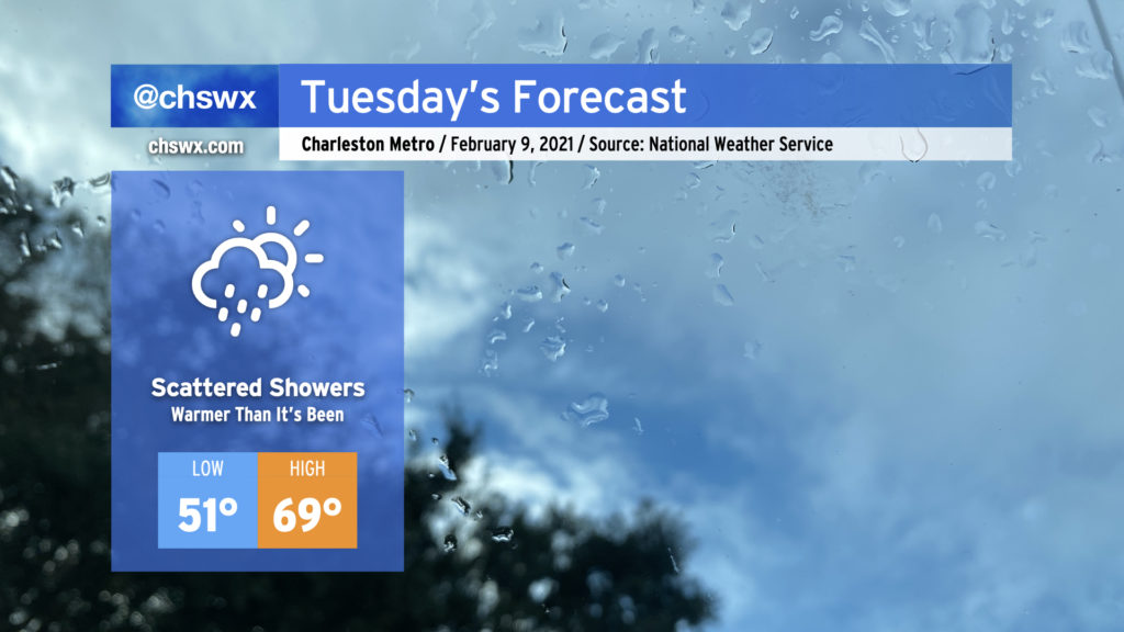
Rain chances tick up for Tuesday as high pressure departs and warmer and more humid air moves back into the area. Despite cloud cover, highs should top out near 70°. Expect scattered showers to begin to take shape by afternoon. Rain amounts will generally be light, but a downpour or two can’t be totally ruled out.
Enjoy the rain-free conditions on Monday, because we’re back to wet weather at times through perhaps Sunday morning. Temperatures will at least run at or a little above normal for much of the week with zonal flow and perhaps even a little ridging aloft, keeping a well-advertised intrusion of Arctic air for much of the northern continental United States at bay for at least the next several days.
The current forecast shows rain chances diminishing Saturday and Sunday in the wake of a cold front, with below-normal temperatures for Valentine’s Day. It’s worth noting that there is a fair bit of model spread as we get into the weekend, so be keeping an eye on forecast updates as some details will need to be fine-tuned.
Despite some of the apps’ best attempts this past Friday, winter weather is not indicated in the forecast, and there is decreasing support for this scenario unfolding from the ensemble of global model runs as the southern extent of a potent Arctic air intrusion into the continental United States appears to be retreating significantly. There has been a noted bias in the models when they get out to the longer range to try to bring Arctic air much further south than it ultimately ends up, and so far, this appears to be one of those times. If things change and it looks legit, I and the rest of the #chswx enterprise will be sure to let you know! 🙂
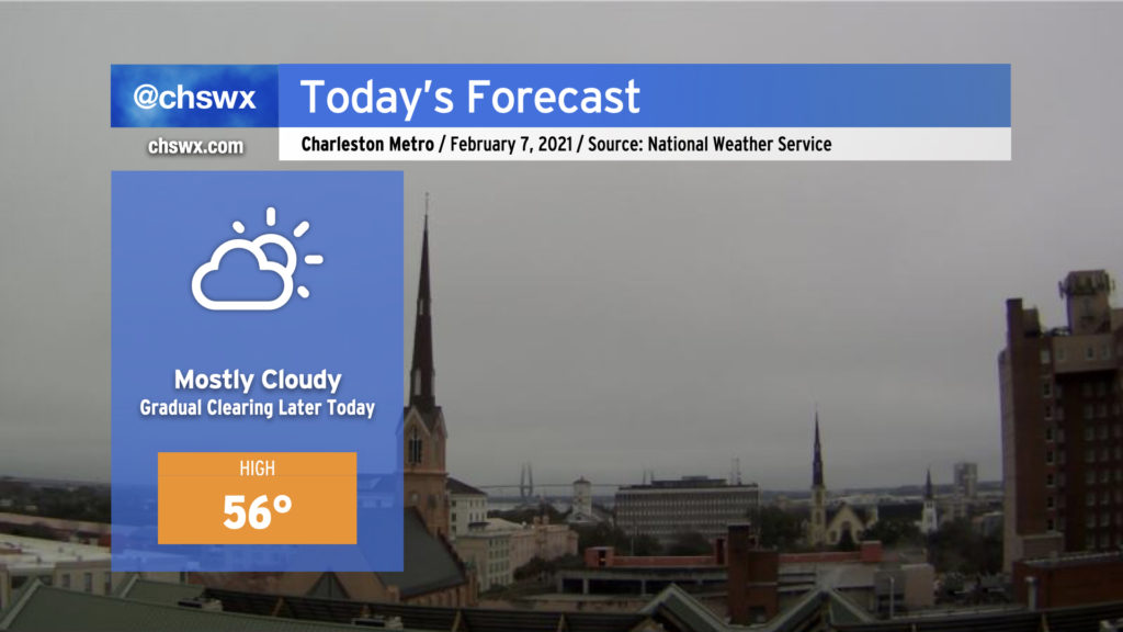
Cloud cover and patches of drizzle continue over the Charleston area this morning as we remain in the low 40s. Temperatures remain forecast to climb into the mid-50s later this afternoon as sunshine breaks through, but if the low-level cloud deck is a little more stubborn, it wouldn’t shock me to see us barely breach 50° today. There are some signs in short-term guidance that appreciable clearing won’t really begin to happen until after sunset, which would definitely put a cap on how warm it could get. Otherwise, no weather concerns for today (unless you are a general aviator who is not yet instrument-rated, anyway).