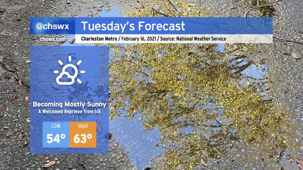
I hope everyone enjoyed the outbreak of sunshine today! It was nice to see temperatures rebound into the mid-60s across the area with nearly cloudless skies for much of the day.
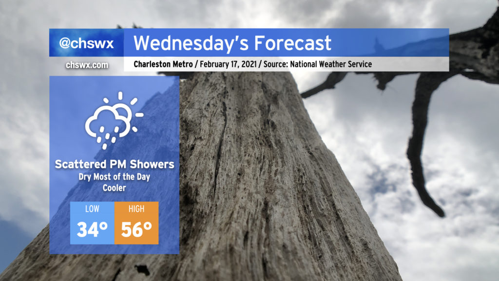
Unfortunately, our unsettled weather pattern remains in place, and today’s respite will be short-lived as clouds build back into the area during the day Wednesday, with shower chances increasing after sunset.
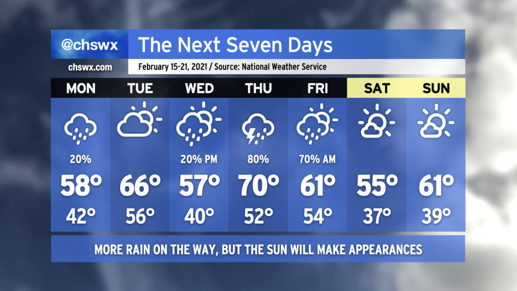
After a stormy Monday night caps off a rather dreary weekend, Tuesday is looking a lot better with at least a brief reprieve from the rain. Clouds will be scouring out in the wake of the front swinging through, and we should be mostly sunny by afternoon. Temperatures will rise quite nicely into the low 60s, which will feel downright blazing compared to the low 40s we found ourselves stuck in over the weekend. Unfortunately, this reprieve will be short-lived as rain chances return to the forecast Wednesday. We’ll take it a day at a time, though, and enjoy tomorrow!
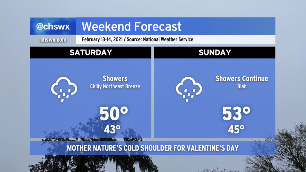
It’s been quite a soggy weekend, with rain totals in many spots exceeding 1″ just today as seemingly relentless moisture pushed atop a cold air damming wedge, keeping the weather wet and chilly as temperatures have barely left the low 40s over the past two days.
Well, the good news is that things are changing, and that we will even see the sun at times this week! (The weekend looks good, too!) But, there will be more unsettled weather before it’s all said and done.
A cold air damming regime will remain in place over the weekend, with plentiful moisture and upper-level energy keeping numerous showers in the forecast along with chilly temperatures. This rain will be no joke — NWS is forecasting 1-3″ across the area by Monday morning, with the higher rain totals generally to be found inland of 17. The wedge of cold air nestled between the Appalachians and the Atlantic and its associated persistent overcast will keep temperatures well below normal (62° is the normal high for this time of year).
Despite what some weather apps were showing this time last week, no precipitation type issues are in the forecast this weekend as the core of the coldest air remains well to our north and west.