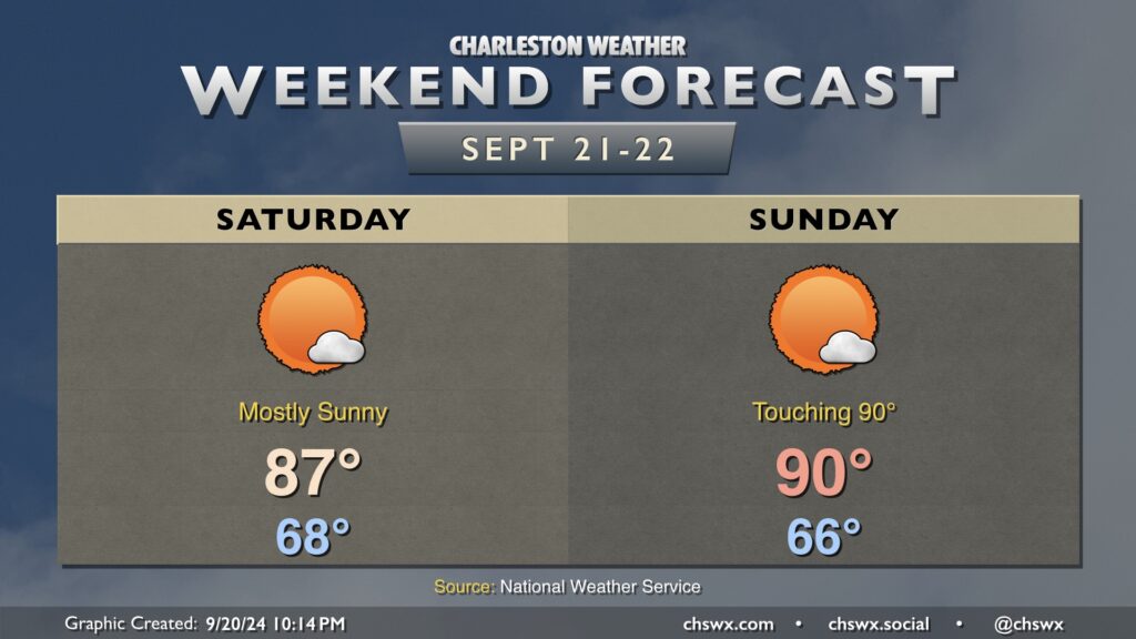
It’ll be a quiet, bright, sunny, and warm weekend in the Lowcountry, with a bit of a callback to summer despite the onset of the autumnal equinox on Sunday.
We start Saturday in the upper 60s, warming to the mid-to-upper 80s in the afternoon under mostly sunny skies as ridging aloft builds in. That ridge gets even a bit stronger for Sunday, and could send highs to around 90° for the first time since September 1, when we reached 91°.
The only real fly in the ointment weather-wise won’t even necessarily be all driven by weather, but rather by high astronomical tides thanks to the recent full moon. Water levels in Charleston Harbor look to peak well into moderate, but just shy of major, flood stage (7.9’) around the 11:14am high tide. As a result, get ready for more road closures like we saw mid-morning on Friday. Sunday should offer similar tide concerns around the midday high tide. Keep an eye out for Coastal Flood Advisories from the National Weather Service.
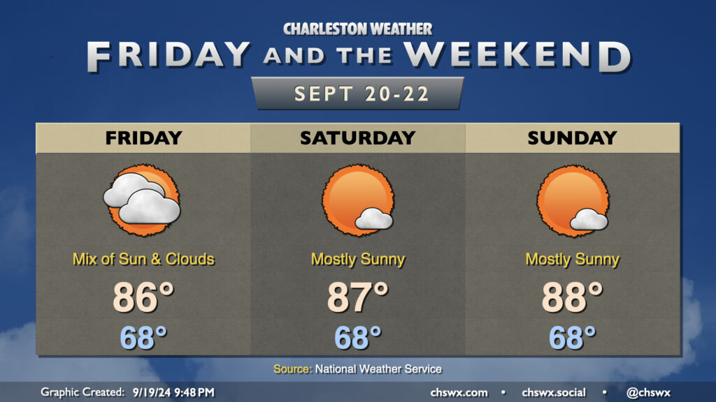
High pressure ridging in at the surface and aloft will make for a quiet and warm weekend of weather across the Lowcountry.
Clouds will still be around Friday as one more piece of energy ripples through before the high pressure ridge takes over. Rain isn’t expected, though a shower can’t be completely discounted. Expect highs in the mid-80s after an upper 60s start.
Despite the autumnal equinox on Sunday, the weekend will feel increasingly more like summer as highs climb into the mid-and-upper 80s each afternoon Saturday and Sunday. The high pressure ridge aloft will also keep a lid on much in the way of showers and thunderstorms (much less cloud cover). Not the worst set of days for an offseason beach visit, IMHO.
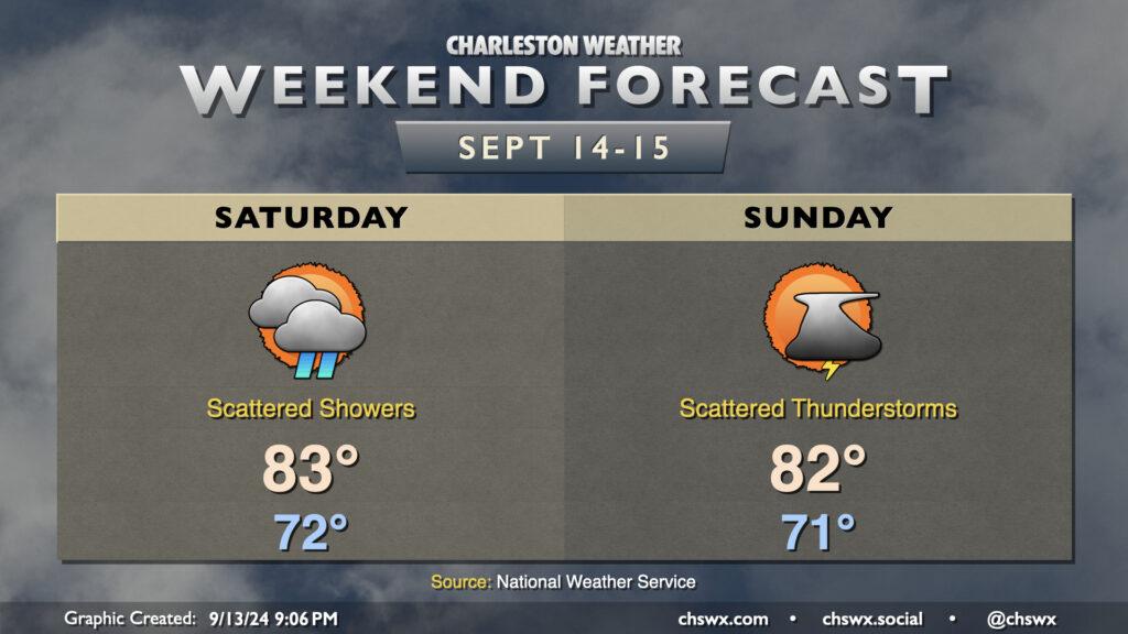
A complex forecast lies ahead this weekend as we monitor for the potential for low pressure to spin up off the coast, which has a shot at potentially becoming tropical as it approaches the coast early next week.
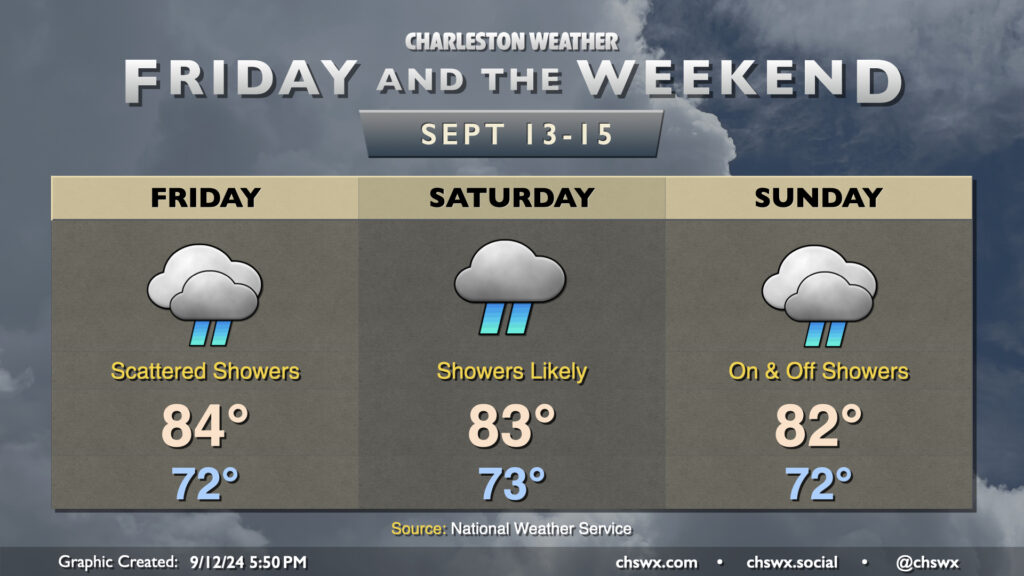
Showers will make a return to the forecast for Friday and the weekend as the dry air that’s been hanging on continues to erode. Models have been trending a bit drier for Friday, but scattered showers still appear to be a decent bet as lift improves atop the wedge of high pressure that remains in place, though it does look like the heaviest rain remains closer to the stationary front to our southwest. Temperatures start in the low 70s, warming to the mid-80s in the afternoon under predominantly cloudy skies, though some peeks of sun are possible from time to time.
The weekend forecast turns a little lower-confidence as we watch for the potential for low pressure to spin up offshore on Sunday. Saturday, meanwhile, continues to look showery at times with the risk for a few rumbles of thunder as well as energy aloft interacts with a developing coastal trough. Temperatures generally run in the low 70s to start with highs in the low-to-mid-80s once again in the afternoon.
Sunday’s forecast could turn a bit on if and where low pressure spins up. For now, expect essentially a repeat of Saturday, with temperatures running in the low 70s to start the day, heading into the low 80s in the afternoon. A faster and more southerly low pressure system could increase the risk of heavy rain in the area later Sunday. Guidance is still a little split on where and when low pressure ultimately develops, but the general expectation is that it spins up offshore by Monday, trekking northwestward and reaching shore by Tuesday, with heavier rain on the northern side of the low. It’s hard to know right now if it will shed its fronts and turn tropical, but the Hurricane Center pegs the area of concern at a 30% chance (low risk) to develop over the next seven days. We’ll keep an eye on this, and you probably should as well, though it still doesn’t look like anything that develops will have much of a chance to get particularly strong.
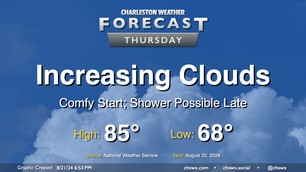
We’ve got a reasonably comfortable day (especially as late August goes) for Thursday as cool high pressure continues to rule the meteorological roost in our neck of the woods. We start the day in the upper 60s in much of the metro, likely dropping even lower further inland and in more rural locations. Temperatures should warm to the mid-80s in the afternoon, but humidity will be quite tolerable with mid-60s dewpoints expected. Clouds will be on the increase as a coastal trough takes shape, and there will be a risk for a shower near the coast, but much of us get the day in rain-free.
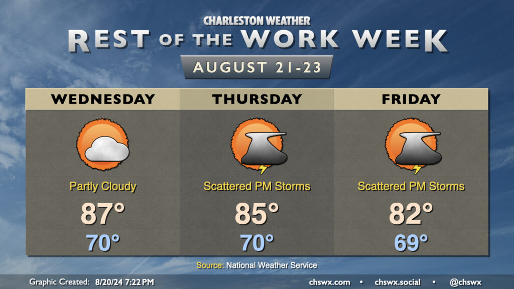
The rest of the work week will feature a cooling trend as high pressure wedges into the area from the northeast and troughing aloft persists. Wednesday should feature a lower storm chance than we’ve seen the past couple days as some drier air takes hold across the area. Temperatures start around 70°, warming to the mid-to-upper 80s in the afternoon with dewpoints in the upper 60s expected.
Thursday into Friday will feature even cooler temperatures as the wedge intensifies over the area; expect mid-80s on Thursday and low 80s on Friday. The intensifying high pressure should lead to a tightening pressure gradient which will drive some gusty winds, particularly around the coast. The onshore winds combined with the recent lunar perigee will also promote coastal flooding around times of high tide (both morning and evening) starting Wednesday evening through at least Friday. Right now generally minor flooding is expected, which is enough to close some of the more vulnerable roads in downtown Charleston.
Shower and thunderstorm chances come back into play for Thursday and Friday as well as more moisture starts to work back into the area, with the best chances of rain closer to the coast. Inland locations may even stay rain-free where drier air is expected to hold firm. No severe weather is expected, though a downpour or two can’t be totally ruled out.
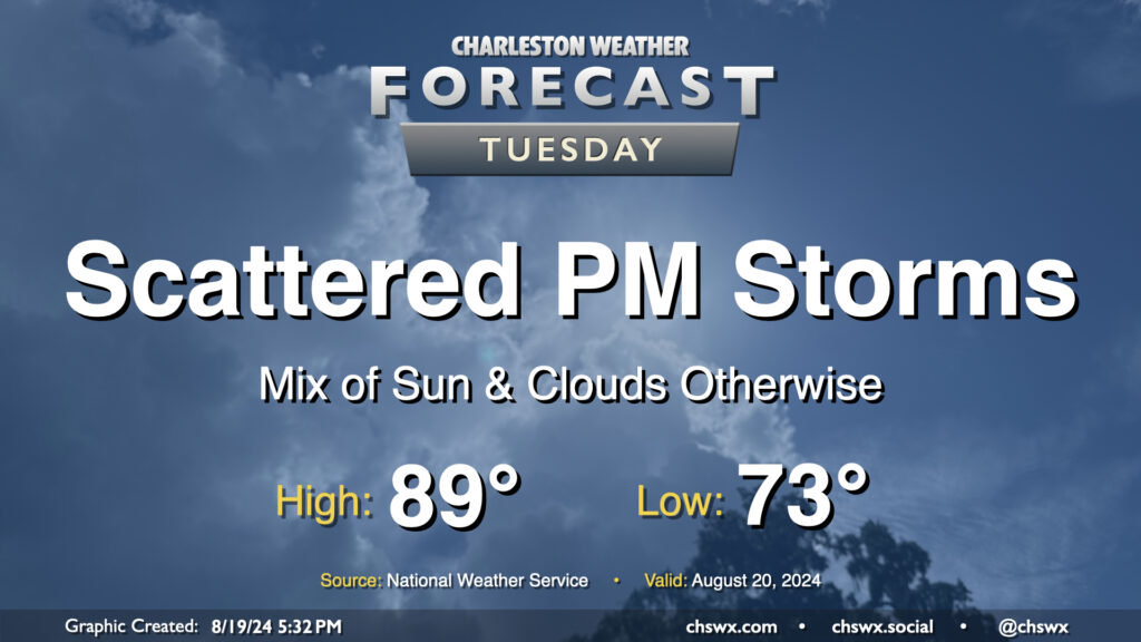
Tuesday looks a lot like Monday did (in the weather department, anyway) as a front continues to meander nearby, keeping the risk for a few showers and thunderstorms in the forecast in the afternoon primarily east of 17-A. Temperatures will follow a similar curve as well — we start in the low 70s (warmer toward the coast) and warm into the upper 80s to around 90° in the afternoon.
As far as storms go, a few folks could see some locally heavy rain thanks to slow storm motions, but otherwise, no severe weather is expected.
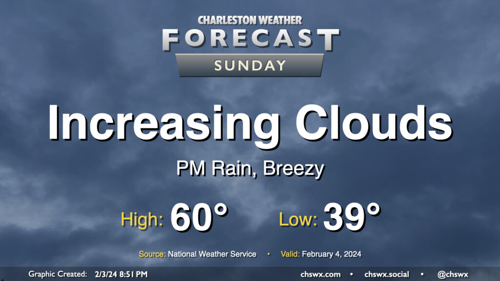
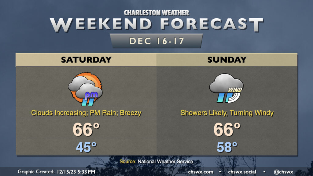
Our run of quiet weather comes to a brief pause starting Sunday as a storm system approaches the area. We’ll see cloud cover head up throughout the day, and showers will be increasingly possible as we get into the later afternoon and evening hours. Expect temperatures to start in the upper 30s to around 40°, with highs topping out around 60°. Northeasterly winds around the storm system will be increasing as the day goes on, and it could be a bit gusty by afternoon, so keep that in mind as well as you head out and about.
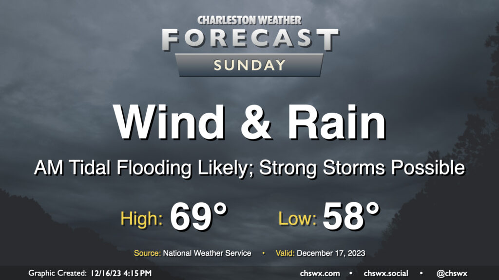
A fairly lousy and potentially high-impact weather day lies ahead for Sunday as a strengthening nor’easter moves along the coast. Wind and rain will begin to pick up early Sunday morning, with gusts near 45 MPH at times (and potentially even higher on bridges and overpasses). Rainfall could turn out to be quite significant, especially within any thunderstorms that can fire; before it’s over, many of us could see 3-5″ of rain with even higher amounts in some spots. Flooding is increasingly a concern as a result, especially with the potential for an 8′ water level around the 11:17am high tide coinciding with continued heavy rain. Finally, if surface-based instability can develop, a severe thunderstorm or two with locally damaging wind gusts and maybe even a tornado could be possible. All this to say that Sunday’s a good “stay inside” day.
A nor’easter will make this second-to-last shopping weekend before Christmas a little tricky, with heavy rain, gusty winds, and coastal flooding all coming into play, especially on Sunday.