It’s still warm, but a pattern change is coming

Our stretch of very warm temperatures continues into Thursday, but changes in the pattern are afoot that will show winter reasserting itself especially as we get into next week.
Read more »
Our stretch of very warm temperatures continues into Thursday, but changes in the pattern are afoot that will show winter reasserting itself especially as we get into next week.
Read more »
While many people in the Upper Midwest and along the West Coast will be dealing with nasty weather this Thanksgiving, we can be thankful for mostly quiet and comfortable conditions as we kick off the holidays.
Read more »
We’ve got a nice stretch of weather coming up over the next few days as high pressure passes through the area, suppressing rainfall and bringing along plenty of sunshine. Temperatures will be rising over the next few days, perhaps reaching 70° by Friday — right near normal for mid-November.
Our next front (and rain chance) swings through roughly Saturday afternoon into the evening. Timing is still tough to pin down. Don’t cancel outdoor plans just yet, but have a secondary plan ready to go.

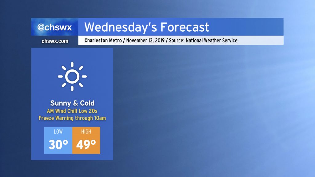
Wednesday will be the coldest day in the Charleston metro area since early March as an Arctic airmass, rushing in tonight, makes a brief visit to the Lowcountry through Thursday morning. Many locations will experience a freeze, and wind chills will be heinous (think low 20s). Time to dust off the jackets!
Read more »
We’re off to a very chilly start this morning in the Lowcountry as Arctic air has once again taken residence in the eastern half of the country. But as it goes in March, just wait five minutes and it’ll change.
Read more »
We’ve got some rain headed our way this afternoon into early this evening, followed by another round of chilly temperatures. Temperatures look to bounce back to close out the work week, though.
Read more »