Post-frontal cooldown for the weekend, but storms stay in the forecast

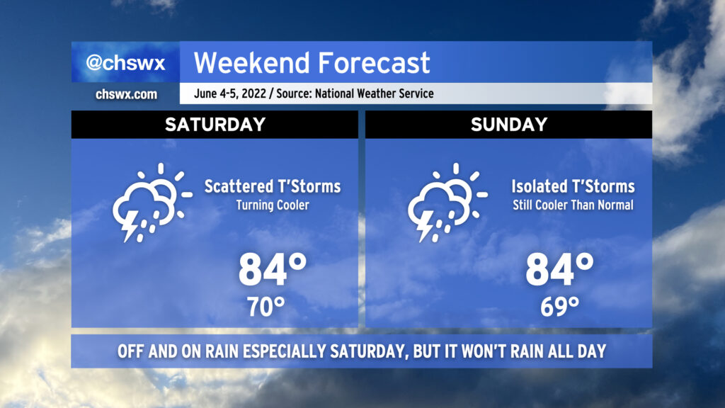
As we head into the weekend, we’ll get a break from the run of mid-90s that we’ve seen in the latter half of this abbreviated work week. This is courtesy of a cold front, which will sink southward across the area tonight bringing with it some showers and thunderstorms. Said front is expected to stall out to our southeast, and this combined with an influx of tropical moisture from what could be an eventual tropical cyclone well to the south and some energy rippling through aloft will be enough to generate periods of showers and thunderstorms for much of the day Saturday. It won’t rain all day at any one location, but be ready to move outdoor activities inside quickly in case the weather changes. Highs top out in the mid-80s on Saturday thanks to the cooler air and expected cloud cover. Sunday should be a little bit drier, though there will still be a slight chance of showers and thunderstorms. Highs once again will top out in the mid-80s, and with any luck, there will be longer breaks in the rain so you can enjoy it a bit.
Read more »
